Economic Revitalization Project · United Kingdom

Sheffield City Region Enterprise Zone Active
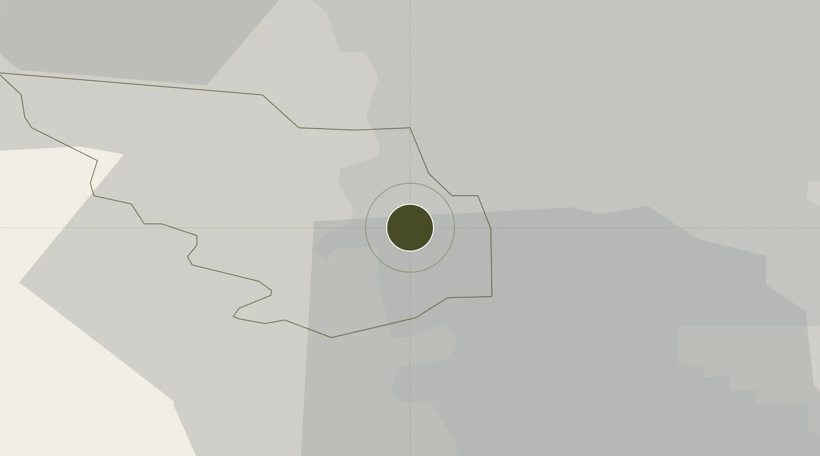
53.3838°, -1.4639°
145 ha
Zone area
54.3 km
Nearest port
53.2 km
Nearest airport

Gateway access

Nearest neighbours — logibook spatial index (haversine) over the source coordinates

Zone profile

Zone type
Economic Revitalization Project
Open Zone Map
Region
Sheffield
Open Zone Map
Status
Active
Open Zone Map
Management
Public-Private Partnership
Open Zone Map
Operator
Sheffield City Region Local Enterprise Partnership
Open Zone Map
Legal framework
Local Government, Planning and Land Act 1980
Open Zone Map

Location

Location of ozm-4700
Natural Earth 10m (public domain) · Sheffield · ozm-4700 · 53.38, -1.46GoogleOSMYandex

Nearby Logistics Neighbours

Ports
  1. 1Manchester54 km
  2. 2Goole55 km
  3. 3Howdendyke55 km
  4. 4New Holland81 km
  5. 5Kingston Upon Hull88 km
Nearest neighbours — logibook spatial index (haversine) over the source coordinates
Airports
  1. 1Leeds East Airport53 km
  2. 2Manchester Airport54 km
  3. 3Leeds Bradford Airport55 km
  4. 4Nottingham City Airport58 km
  5. 5East Midlands Airport62 km
Nearest neighbours — logibook spatial index (haversine) over the source coordinates
Cities
  1. 1Loxley2 km
  2. 2Attercliffe3 km
  3. 3Darnall3 km
  4. 4Seacroft4 km
  5. 5Sheffield4 km
Nearest neighbours — logibook spatial index (haversine) over the source coordinates
Trade Zones
  1. 1Aire Valley Leeds Enterprise Zone44 km
  2. 2Oxford Road Corridor Enterprise Zone52 km
  3. 3Nottingham D2N2 Enterprise Zone53 km
  4. 4Manchester Airport City Enterprise Zone55 km
  5. 5Infinity Park Derby Enterprise Zone56 km
Nearest neighbours — logibook spatial index (haversine) over the source coordinates
DatabookThe Record of Consolidated Knowledge
United Kingdom beyond logistics?
Browse databook

All Sources

Trade ZonesOpen Zone Map
CC BY
Portsthe NGA World Port Index
Public domain (US gov)
AirportsOurAirports
Public domain
LocationsUN/LOCODE
UN/LOCODE — free
← United Kingdom trade zones