Channel & Berth Profile
Pilotage, Tugs & Services
Pilotage compulsoryYES
Pilotage availableYES
Pilotage advisableYES
Tug assistanceYES
Potable waterYES
Diesel bunkersYES
MedicalYES
Garbage disposalYES
Facilities & Capabilities
Container—
Ro-Ro—
Liquid bulk—
Dry bulk—
Oil terminal—
Break bulk—
Dry dock—
RepairsNO
BunkeringYES
Rail link—
Dangerous cargo—
ISPS security—
Harbour Specifications
Harbour size
Small
Harbour type
Canal or Lake
Shelter
Good
Water body
North Sea; North Atlantic Ocean
Tidal range
4 m
Overhead limit
Yes
Pilotage
Yes
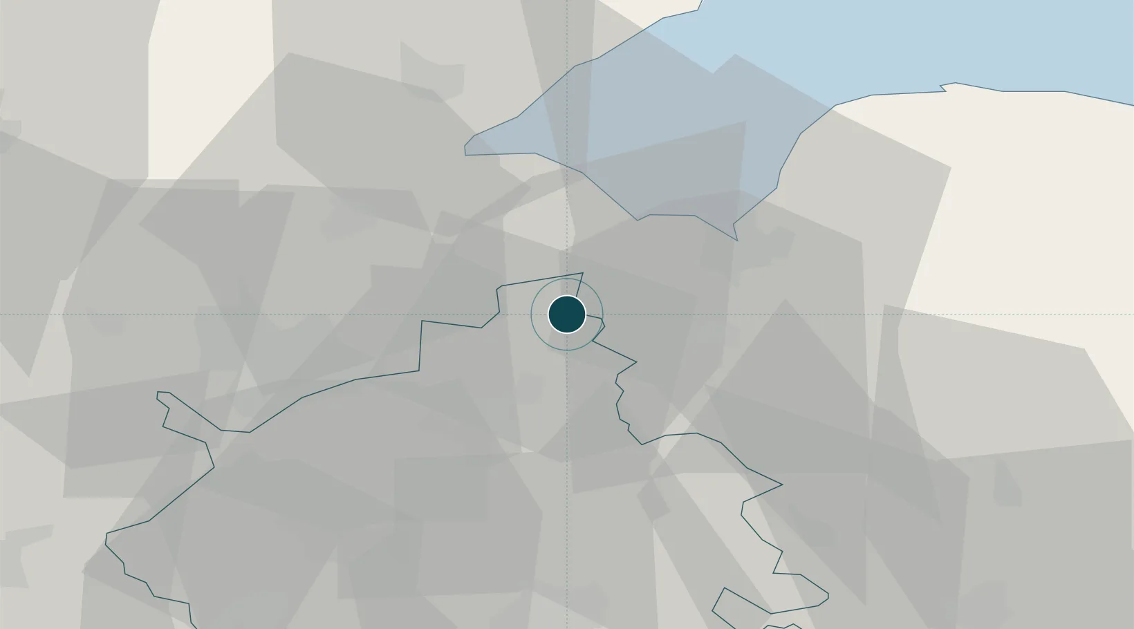
Location
Nearby Logistics Neighbours
Ports
- 1King's Lynn19 km
- 2Boston35 km
- 3Ipswich97 km
- 4Colchester102 km
- 5Grimsby103 km
Cities
- 1Marshland Saint James6 km
- 2Sutton Bridge11 km
- 3Stowbridge15 km
- 4King's Lynn18 km
- 5Manea21 km
Airports
- 1RAF Marham27 km
- 2RAF Lakenheath40 km
- 3RAF Mildenhall41 km
- 4RAF Wittering43 km
- 5Cambridge City Airport51 km
DatabookThe Record of Consolidated Knowledge
United Kingdom beyond logistics?