Economic Revitalization Project · United Kingdom

Loughborough Leicester Enterprise Zone Active
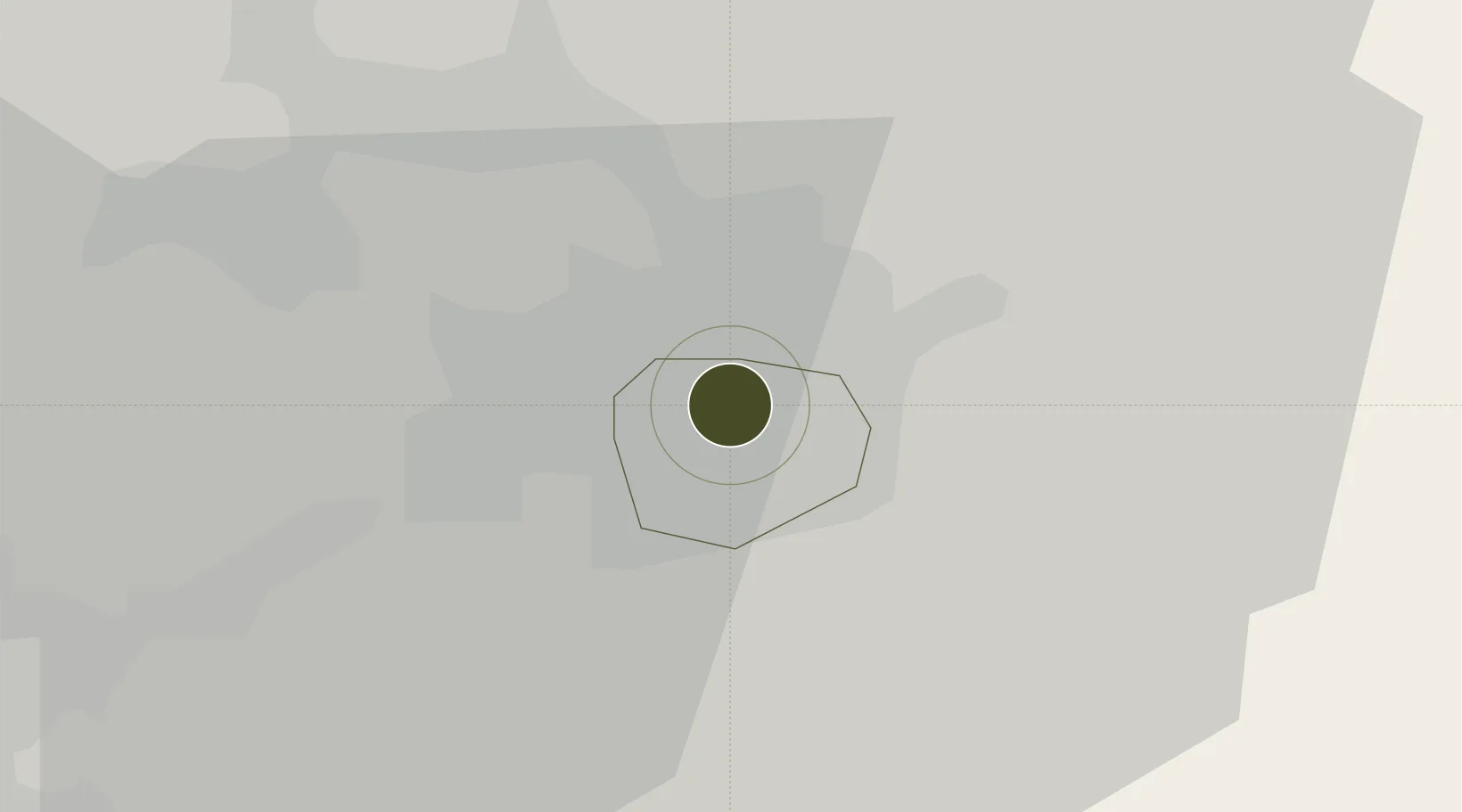
52.6339°, -1.1244°
290 ha
Zone area
83.2 km
Nearest port
25.9 km
Nearest airport

Gateway access

Nearest neighbours — logibook spatial index (haversine) over the source coordinates

Zone profile

Zone type
Economic Revitalization Project
Open Zone Map
Region
Leicester
Open Zone Map
Status
Active
Open Zone Map
Management
Public-Private Partnership
Open Zone Map
Operator
Leicester & Leicestershire Local Enterprise Partnership
Open Zone Map
Legal framework
Local Government, Planning and Land Act 1980
Open Zone Map

Location

Location of ozm-4708
Natural Earth 10m (public domain) · Leicester · ozm-4708 · 52.63, -1.12GoogleOSMYandex

Nearby Logistics Neighbours

Ports
  1. 1Boston83 km
  2. 2Wisbech86 km
  3. 3King's Lynn104 km
  4. 4Goole120 km
  5. 5Manchester121 km
Nearest neighbours — logibook spatial index (haversine) over the source coordinates
Airports
  1. 1East Midlands Airport26 km
  2. 2Nottingham City Airport32 km
  3. 3Coventry Airport38 km
  4. 4RAF Wittering44 km
  5. 5Birmingham Airport47 km
Nearest neighbours — logibook spatial index (haversine) over the source coordinates
Cities
  1. 1Birstall4 km
  2. 2Aylestone4 km
  3. 3Leicester7 km
  4. 4Hethel11 km
  5. 5Markfield11 km
Nearest neighbours — logibook spatial index (haversine) over the source coordinates
Trade Zones
  1. 1Mira Technology Park26 km
  2. 2Nottingham D2N2 Enterprise Zone34 km
  3. 3Infinity Park Derby Enterprise Zone36 km
  4. 4Northampton Waterside Enterprise Zone47 km
  5. 5Birmingham City Centre Enterprise Zone56 km
Nearest neighbours — logibook spatial index (haversine) over the source coordinates
DatabookThe Record of Consolidated Knowledge
United Kingdom beyond logistics?
Browse databook

All Sources

Trade ZonesOpen Zone Map
CC BY
Portsthe NGA World Port Index
Public domain (US gov)
AirportsOurAirports
Public domain
LocationsUN/LOCODE
UN/LOCODE — free
← United Kingdom trade zones