Medium airport · United Kingdom
RAF CranwellEGYD
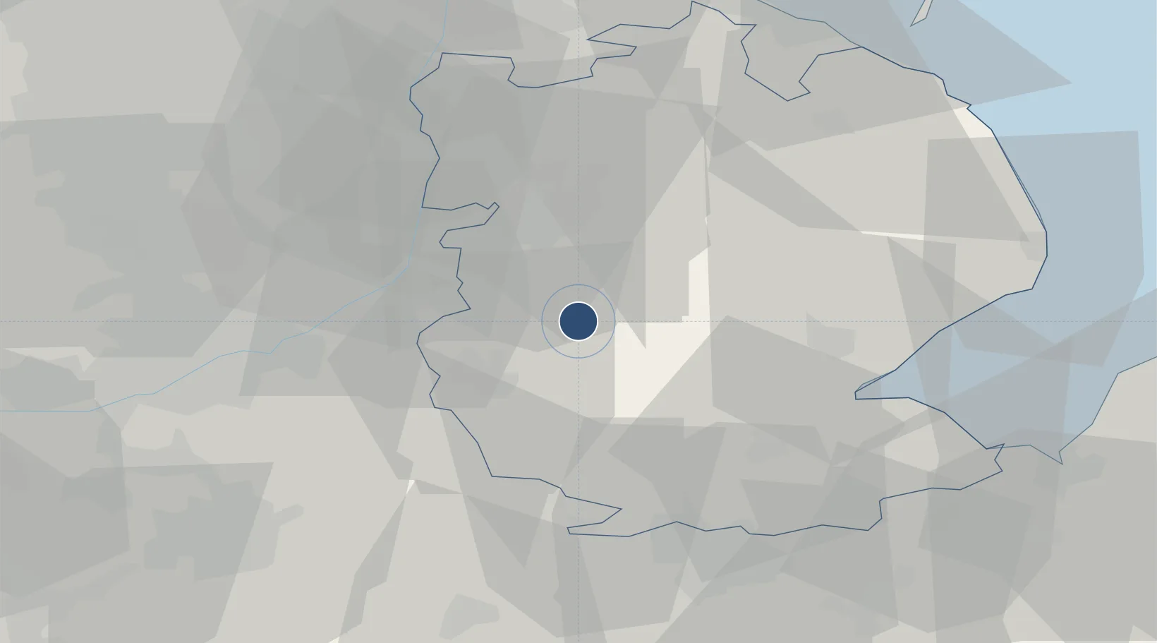
53.0273°, -0.4931°
6,831 ft
Longest runway
3
Runways
218 ft
Elevation
Runway & Layout

Radio Frequencies
ATIS
135.675 MHz
ATIS
233.628 MHz
TWR
125.05 MHz
TWR
268.625 MHz
GND
36.92 MHz
APP
119.375 MHz
APP
280.775 MHz
DEP
119.375 MHz
DEP
275.675 MHz
CAC
27.777 MHz
GRN
240.425 MHz
Navaids
CWL NDB Cranwell 423 kHz
CWZ TACAN Cranwell 117.40 MHz
Runways · 3
| Runway | Dimensions | Surface | True heading | Lit |
|---|---|---|---|---|
| 08/26 | 6,831 × 147ft | Asphalt | 083° | ✓ |
| 01/19 | 4,803 × 147ft | Asphalt | 008° | ✓ |
| 08R/26L | 2,354 × 131ft | Grass | 089° | — |
Airport Specifications
ICAO code
EGYD
Airport class
Medium airport
Scheduled service
No
Runway surface
Asphalt
Served city
Sleaford, Lincolnshire
Location
Nearby Logistics Neighbours
Airports
- 1RAF Barkston Heath9 km
- 2RAF Waddington16 km
- 3RAF Coningsby23 km
- 4Nottingham City Airport41 km
- 5RAF Wittering46 km
Cities
- 1Leadenham7 km
- 2Ancaster7 km
- 3Ruskington8 km
- 4Bassingham14 km
- 5Heckington14 km
Ports
- 1Boston33 km
- 2Wisbech59 km
- 3King's Lynn67 km
- 4Grimsby68 km
- 5Immingham70 km
DatabookThe Record of Consolidated Knowledge
United Kingdom beyond logistics?