UN/LOCODE hub · United Kingdom
GBNTG
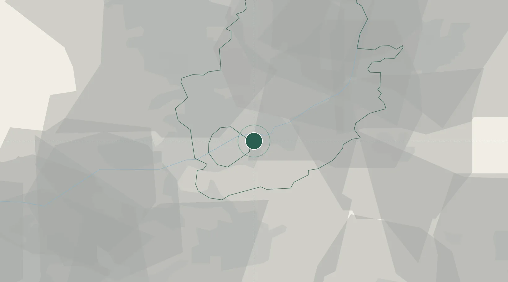
Nottingham
52.9514°, -1.0906°
323,632
Population
1
Transport functions
Transport Functions
Port
Hub Profile
Place type
Provincial seat
Region
England
Population
323,632
Time zone
Europe/London
Elevation
46 m
Logistics facilities
3
Location
Nearby Logistics Neighbours
Cities
- 1Oadby5 km
- 2Arnold6 km
- 3Ruddington9 km
- 4Hoveringham11 km
- 5Cossall13 km
Ports
- 1Boston72 km
- 2Goole85 km
- 3Howdendyke88 km
- 4Wisbech89 km
- 5New Holland96 km
Airports
- 1Nottingham City Airport4 km
- 2East Midlands Airport21 km
- 3RAF Barkston Heath36 km
- 4RAF Cranwell41 km
- 5RAF Waddington45 km
DatabookThe Record of Consolidated Knowledge
United Kingdom beyond logistics?