Medium airport · United Kingdom

RAF Barkston HeathEGYE
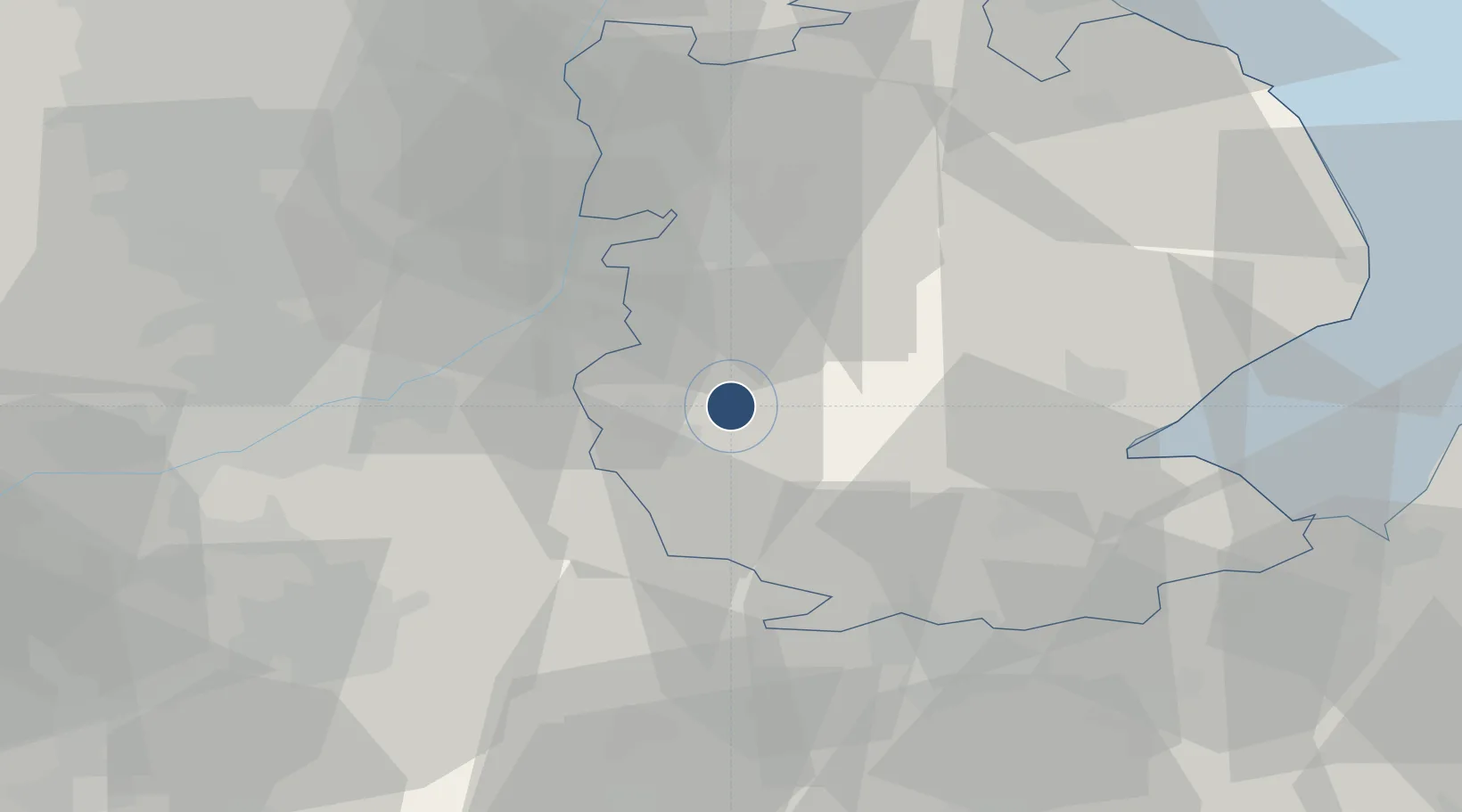
52.9606°, -0.5594°
5,722 ft
Longest runway
3
Runways
367 ft
Elevation

Runway & Layout

RAF Barkston Heath runway & taxiway layout
Runway & taxiway layout — OpenStreetMap (ODbL) / OurAirports

Radio Frequencies

ATIS
124.2 MHz
ATIS
293.45 MHz
TWR
120.425 MHz
TWR
281.225 MHz
GND
389.45 MHz
APP
28.077 MHz
CRANWELLL APP
DEP
119.375 MHz
DEP
355.95 MHz
OurAirports

Runways · 3

RunwayDimensions SurfaceTrue headingLit
06/24 5,722 × 151ft Asphalt 058°
10/28 4,193 × 151ft Asphalt 103°
18/36 2,608 × 75ft Asphalt 178°
OurAirports

Airport Specifications

ICAO code
EGYE
OurAirports
Airport class
Medium airport
OurAirports
Scheduled service
No
OurAirports
Runway surface
Asphalt
OurAirports
Served city
Grantham, Lincolnshire
OurAirports

Location

Location of EGYE
Natural Earth 10m (public domain) · Lincolnshire · EGYE · 52.96, -0.56GoogleOSMYandex

Nearby Logistics Neighbours

Airports
  1. 1RAF Cranwell9 km
  2. 2RAF Waddington23 km
  3. 3RAF Coningsby30 km
  4. 4Nottingham City Airport35 km
  5. 5RAF Wittering39 km
Nearest neighbours — logibook spatial index (haversine) over the source coordinates
Cities
  1. 1Ancaster2 km
  2. 2Leadenham10 km
  3. 3Ruskington15 km
  4. 4Heckington18 km
  5. 5Bassingham18 km
Nearest neighbours — logibook spatial index (haversine) over the source coordinates
Ports
  1. 1Boston36 km
  2. 2Wisbech58 km
  3. 3King's Lynn69 km
  4. 4Grimsby77 km
  5. 5Immingham79 km
Nearest neighbours — logibook spatial index (haversine) over the source coordinates
Trade Zones
  1. 1Nottingham D2N2 Enterprise Zone41 km
  2. 2Loughborough Leicester Enterprise Zone53 km
  3. 3Infinity Park Derby Enterprise Zone62 km
  4. 4Alconbury Weald Enterprise Zone69 km
  5. 5Sheffield City Region Enterprise Zone77 km
Nearest neighbours — logibook spatial index (haversine) over the source coordinates
DatabookThe Record of Consolidated Knowledge
United Kingdom beyond logistics?
Browse databook

All Sources

AirportsOurAirports
Public domain
Portsthe NGA World Port Index
Public domain (US gov)
LocationsUN/LOCODE
UN/LOCODE — free
Trade Zonesthe World Bank SEZ database
CC BY 4.0
Trade ZonesOpen Zone Map
CC BY
InfrastructureOpenStreetMap
ODbL 1.0
← United Kingdom airports