Transport Functions
Port
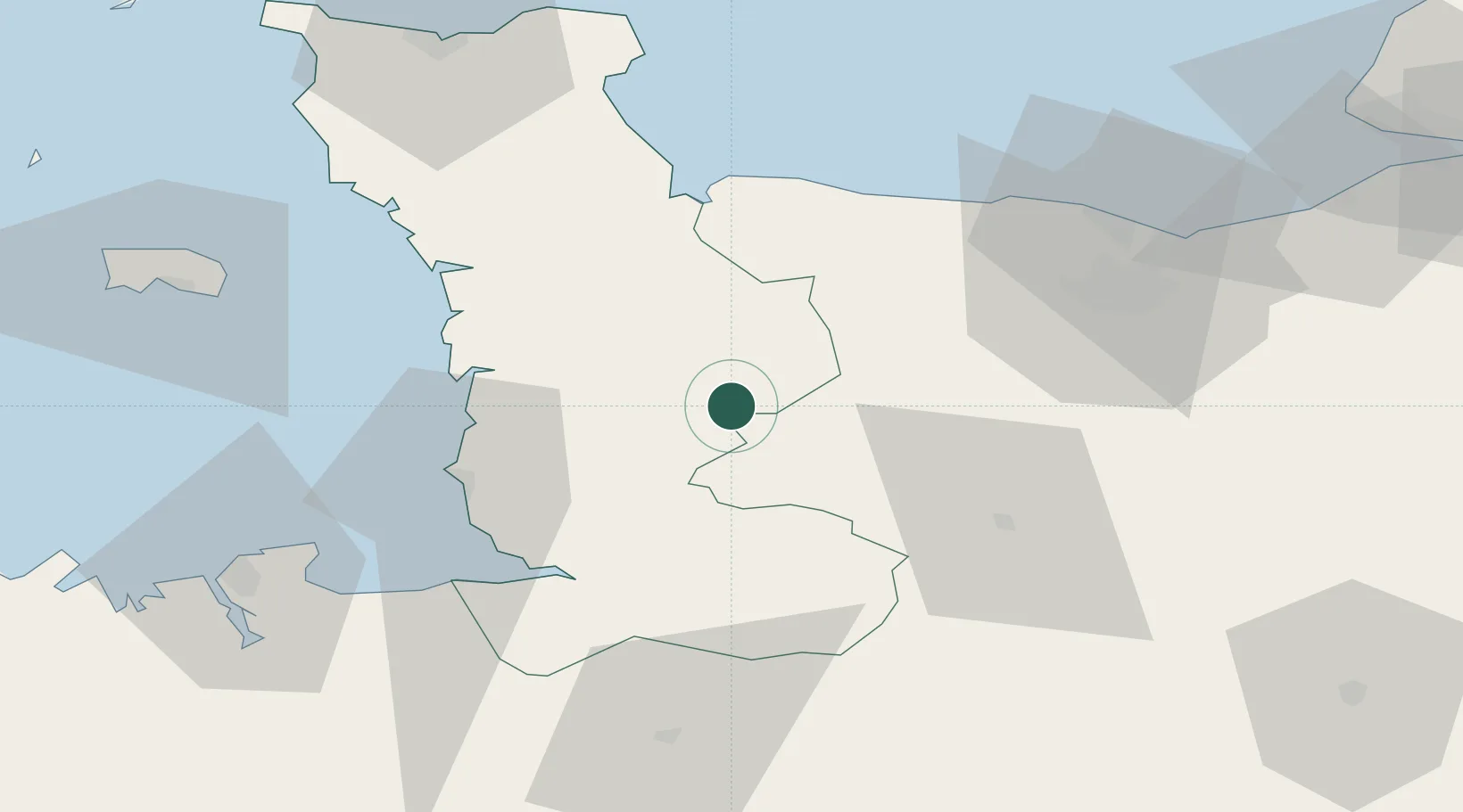
Hub Profile
Place type
Populated place
Region
Normandy
Population
1,465
Time zone
Europe/Paris
Elevation
60 m
Location
Nearby Logistics Neighbours
Cities
- 1Saint-Amand12 km
- 2Saint-Lô17 km
- 3Agneaux17 km
- 4Vire18 km
- 5Le Tourneur18 km
Ports
- 1Granville42 km
- 2Port De Caen58 km
- 3Ouistreham69 km
- 4Saint-Malo78 km
- 5Saint Helier Harbour80 km
Airports
- 1Granville Airport38 km
- 2Caen Carpiquet airport50 km
- 3Cherbourg Manche airport81 km
- 4Dinard Pleurtuit Saint-Malo airport85 km
- 5Jersey Airport87 km
Trade Zones
- 1ZFU La Guérinière, La Grâce de Dieu54 km
- 2ZFU Hérouville-Saint-Clair59 km
- 3ZFU Cherbourg-Octeville87 km
- 4ZFU Alençon103 km
- 5ZFU Le Havre105 km
DatabookThe Record of Consolidated Knowledge
France beyond logistics?