Transport Functions
Rail
Hub Profile
Place type
Provincial seat
Region
Normandy
Population
21,722
Time zone
Europe/Paris
Elevation
41 m
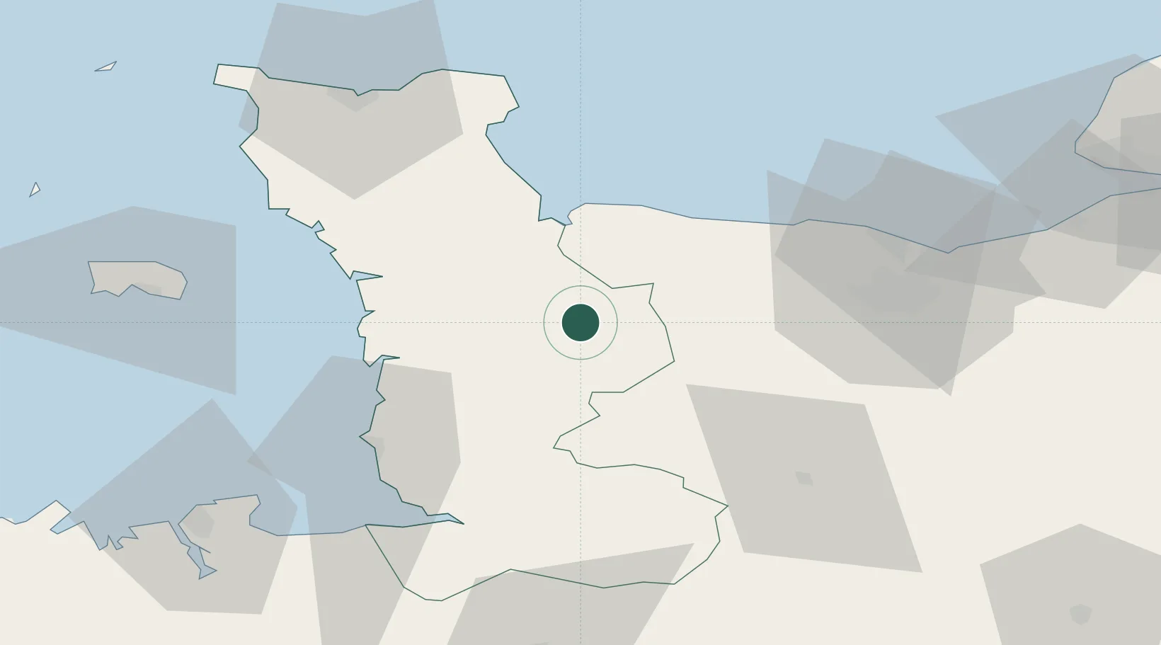
Location
Nearby Logistics Neighbours
Cities
- 1Agneaux1 km
- 2Saint-Amand11 km
- 3Tessy-sur-Vire17 km
- 4Isigny-sur-Mer20 km
- 5Carentan23 km
Ports
- 1Granville49 km
- 2Port De Caen54 km
- 3Ouistreham63 km
- 4Rade De Cherbourg71 km
- 5Saint Helier Harbour76 km
Airports
- 1Granville Airport44 km
- 2Caen Carpiquet airport46 km
- 3Cherbourg Manche airport66 km
- 4Jersey Airport82 km
- 5Dinard Pleurtuit Saint-Malo airport94 km
Trade Zones
- 1ZFU La Guérinière, La Grâce de Dieu50 km
- 2ZFU Hérouville-Saint-Clair54 km
- 3ZFU Cherbourg-Octeville72 km
- 4ZFU Le Havre97 km
- 5ZFU Alençon114 km
DatabookThe Record of Consolidated Knowledge
France beyond logistics?