Transport Functions
Multimodal
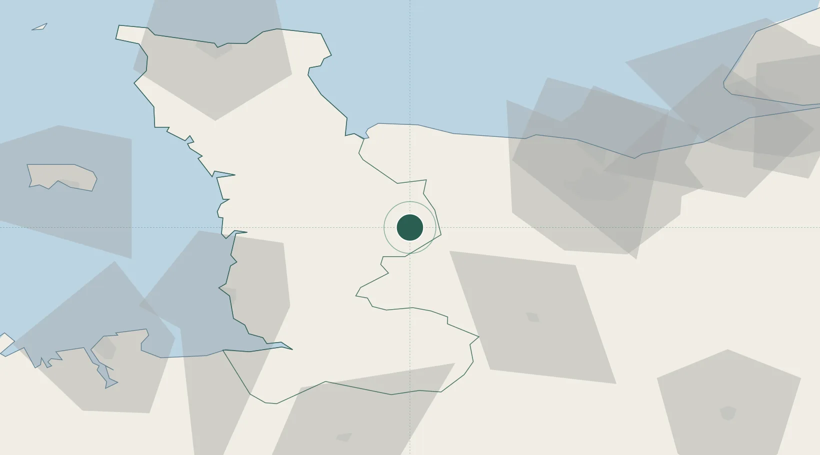
Hub Profile
Place type
Populated place
Region
Normandy
Population
2,045
Time zone
Europe/Paris
Elevation
128 m
Location
Nearby Logistics Neighbours
Cities
- 1Saint-Lô11 km
- 2Tessy-sur-Vire12 km
- 3Agneaux12 km
- 4Le Tourneur14 km
- 5Tracy-Bocage21 km
Ports
- 1Port De Caen47 km
- 2Granville52 km
- 3Ouistreham58 km
- 4Rade De Cherbourg82 km
- 5Deauville84 km
Airports
- 1Caen Carpiquet airport40 km
- 2Granville Airport47 km
- 3Cherbourg Manche airport76 km
- 4Deauville Normandie airport89 km
- 5Jersey Airport91 km
Trade Zones
- 1ZFU La Guérinière, La Grâce de Dieu43 km
- 2ZFU Hérouville-Saint-Clair48 km
- 3ZFU Cherbourg-Octeville83 km
- 4ZFU Le Havre94 km
- 5ZFU Alençon103 km
DatabookThe Record of Consolidated Knowledge
France beyond logistics?