Transport Functions
Road
Multimodal
Hub Profile
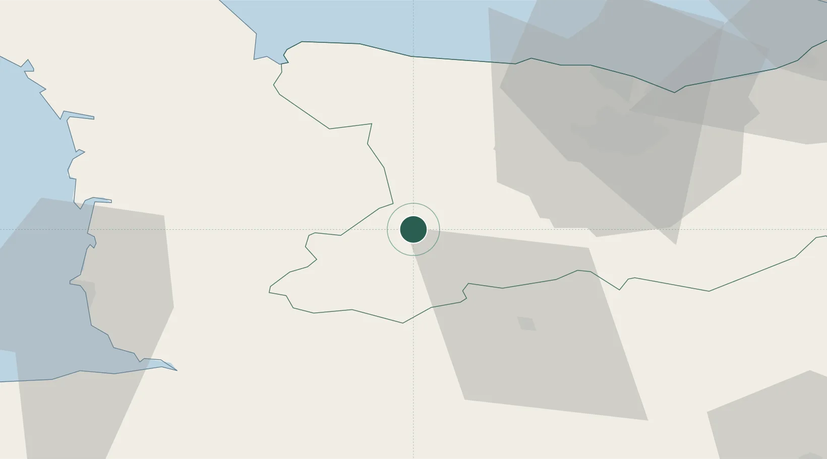
Place type
Populated place
Region
Normandy
Population
525
Time zone
Europe/Paris
Elevation
140 m
Location
Nearby Logistics Neighbours
Cities
- 1Grisy12 km
- 2Saint-Jean-le-Blanc13 km
- 3Vire14 km
- 4Saint-Amand14 km
- 5Tracy-Bocage15 km
Ports
- 1Port De Caen42 km
- 2Ouistreham54 km
- 3Granville59 km
- 4Deauville79 km
- 5Port Of Le Havre89 km
Airports
- 1Caen Carpiquet airport35 km
- 2Granville Airport55 km
- 3Deauville Normandie airport83 km
- 4Cherbourg Manche airport90 km
- 5Le Havre-Octeville Airport91 km
Trade Zones
- 1ZFU La Guérinière, La Grâce de Dieu38 km
- 2ZFU Hérouville-Saint-Clair43 km
- 3ZFU Alençon89 km
- 4ZFU Le Havre90 km
- 5ZFU Cherbourg-Octeville97 km
DatabookThe Record of Consolidated Knowledge
France beyond logistics?