Channel & Berth Profile
Pilotage, Tugs & Services
Pilotage compulsoryYES
Pilotage availableYES
Tug assistanceYES
Salvage tugsNO
Shore powerYES
Potable waterYES
Diesel bunkersYES
MedicalYES
Facilities & Capabilities
Container—
Ro-Ro—
Liquid bulk—
Dry bulk—
Oil terminal—
Break bulk—
Dry dockNO
RepairsNO
BunkeringYES
Rail linkYES
Dangerous cargo—
ISPS security—
Harbour Specifications
Harbour size
Small
Harbour type
Coastal (Tide Gates)
Shelter
Good
Water body
English Channel; North Atlantic Ocean
Tidal range
13 m
Overhead limit
Yes
Pilotage
Yes
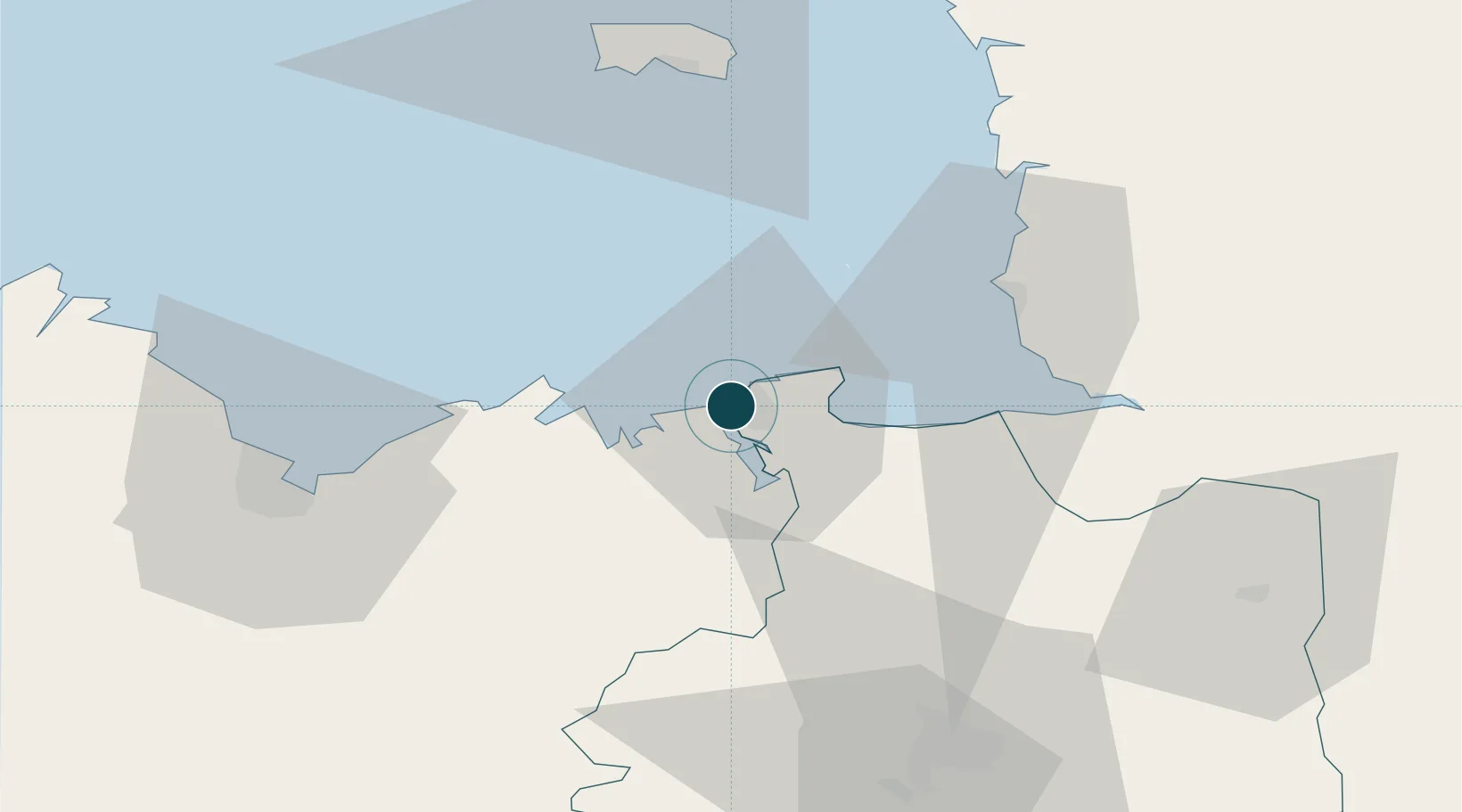
Location
Nearby Logistics Neighbours
Ports
- 1Granville37 km
- 2Le Legue56 km
- 3Saint Helier Harbour60 km
- 4Paimpol77 km
- 5Lezardrieux81 km
Cities
- 1Saint-Coulomb9 km
- 2Cancale13 km
- 3Plouër-sur-Rance13 km
- 4Pleslin-Trigavou13 km
- 5Châteauneuf-d'Ille-et-Vilaine13 km
Airports
Trade Zones
- 1ZFU Cherbourg-Octeville113 km
- 2ZFU La Guérinière, La Grâce de Dieu132 km
- 3ZFU Hérouville-Saint-Clair137 km
- 4ZFU Saint-Nazaire154 km
- 5ZFU Nantes et Saint-Herblain160 km
DatabookThe Record of Consolidated Knowledge
France beyond logistics?