Economic Revitalization Project · France
ZFU Alençon Active
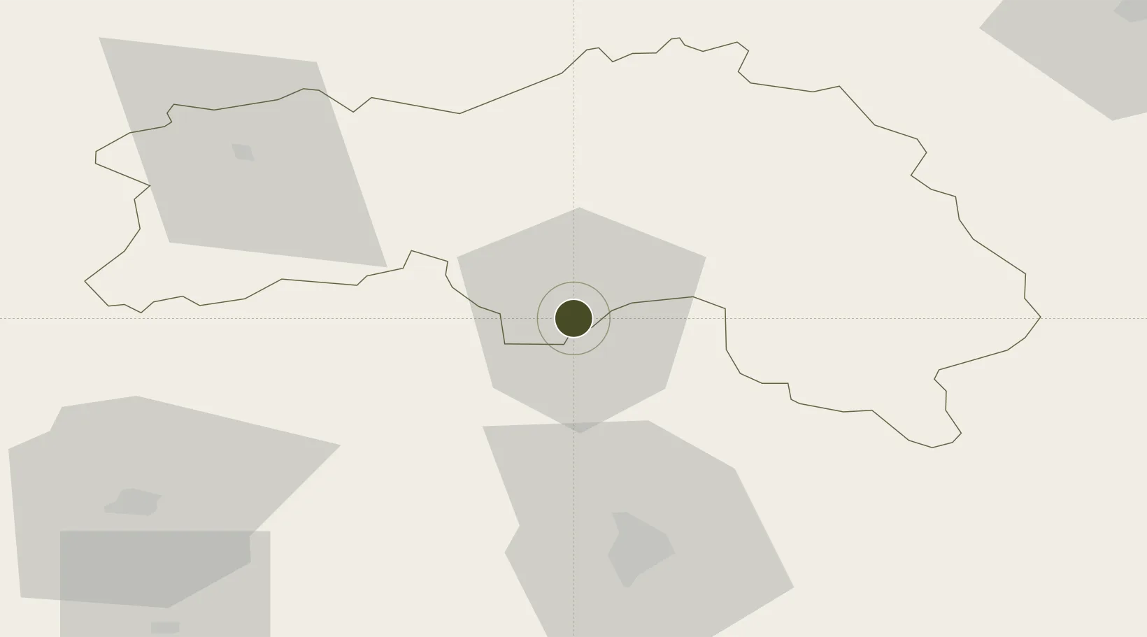
48.4302°, 0.0799°
240 ha
Zone area
89.5 km
Nearest port
54.3 km
Nearest airport
Gateway access
Zone profile
Zone type
Economic Revitalization Project
Region
Orne
Status
Active
Management
Public
Operator
Mairie d'Alençon
Legal framework
Décret no 65-939 du 8 novembre 1965, Décret du 9 Octobre 2008
Location
Nearby Logistics Neighbours
Ports
- 1Port De Caen90 km
- 2Ouistreham98 km
- 3Deauville104 km
- 4Honfleur110 km
- 5Port Of Le Havre117 km
Airports
- 1Le Mans-Arnage Airport54 km
- 2Laval-Entrammes Airport75 km
- 3Caen Carpiquet airport92 km
- 4Angers Marcé airport101 km
- 5Deauville Normandie airport104 km
Cities
- 1Alençon0 km
- 2Valframbert5 km
- 3Lonrai5 km
- 4Fyé11 km
- 5Ravigny11 km
Trade Zones
- 1ZFU Le Mans50 km
- 2ZFU La Guérinière, La Grâce de Dieu91 km
- 3ZFU Hérouville-Saint-Clair92 km
- 4ZFU Dreux et Sainte-Gemme-Moronval102 km
- 5ZFU Évreux103 km
DatabookThe Record of Consolidated Knowledge
France beyond logistics?