Transport Functions
Rail
Road
Hub Profile
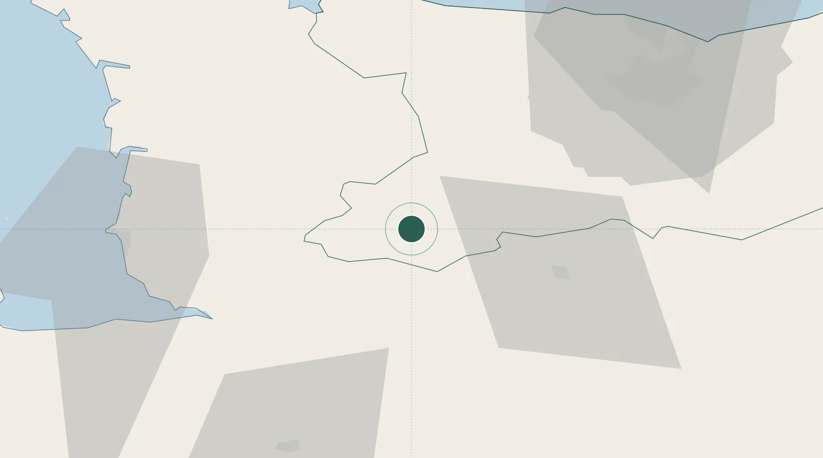
Place type
District seat
Region
Normandy
Population
14,603
Time zone
Europe/Paris
Elevation
179 m
Location
Nearby Logistics Neighbours
Cities
- 1Vengeons11 km
- 2Le Tourneur14 km
- 3Tessy-sur-Vire18 km
- 4Juvigny-le-Tertre20 km
- 5Saint-Jean-le-Blanc21 km
Ports
- 1Granville51 km
- 2Port De Caen55 km
- 3Ouistreham68 km
- 4Saint-Malo85 km
- 5Deauville92 km
Airports
Trade Zones
- 1ZFU La Guérinière, La Grâce de Dieu52 km
- 2ZFU Hérouville-Saint-Clair56 km
- 3ZFU Alençon86 km
- 4ZFU Le Havre104 km
- 5ZFU Cherbourg-Octeville104 km
DatabookThe Record of Consolidated Knowledge
France beyond logistics?