Medium airport · France
Dinard Pleurtuit Saint-Malo airportLFRD
48.5877°, -2.0800°
7,218 ft
Longest runway
2
Runways
219 ft
Elevation
Runway & Layout

Radio Frequencies
ATIS
124.575 MHz
DINARD ATIS
TWR
120.15 MHz
DINARD TWR
Navaids
DIN VOR-DME Dinard 114.30 MHz
Runways · 2
| Runway | Dimensions | Surface | True heading | Lit |
|---|---|---|---|---|
| 17/35 | 7,218 × 148ft | Asphalt | 170° | ✓ |
| 12/30 | 4,708 × 148ft | Asphalt | 115° | — |
Airport Specifications
IATA code
DNR
ICAO code
LFRD
Airport class
Medium airport
Scheduled service
Yes
Runway surface
Asphalt
Served city
Dinard
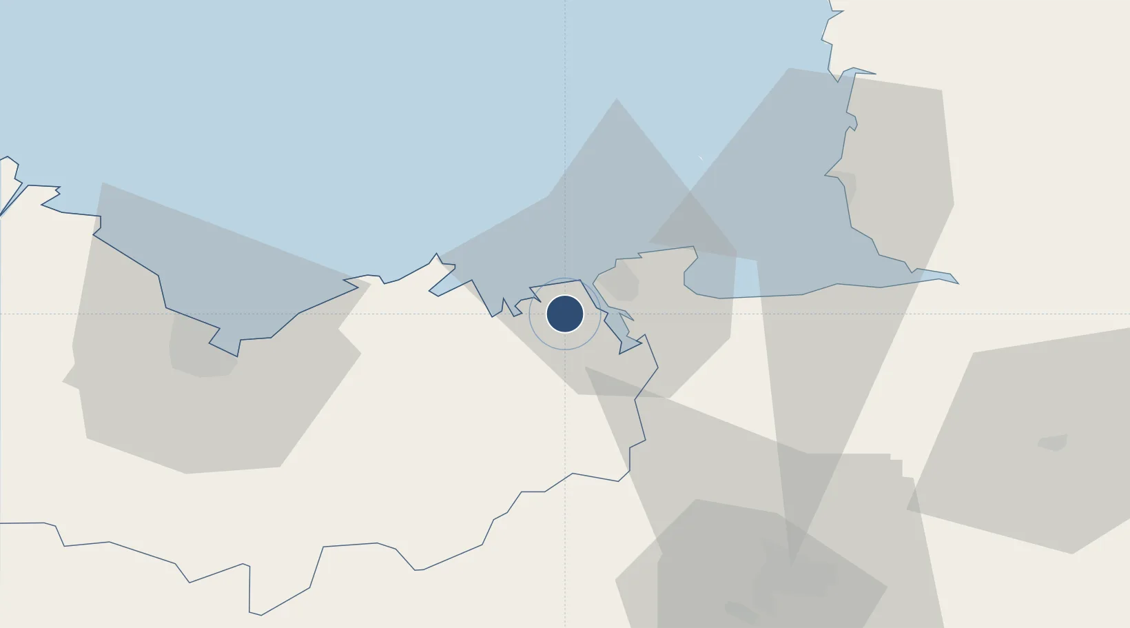
Location
Nearby Logistics Neighbours
Airports
- 1Granville Airport50 km
- 2Saint-Brieuc-Armor Airport57 km
- 3Rennes-Saint-Jacques Airport63 km
- 4Jersey Airport70 km
- 5Guernsey Airport102 km
Cities
- 1Pleslin-Trigavou6 km
- 2Saint-Malo8 km
- 3Plouër-sur-Rance8 km
- 4le Guildo10 km
- 5La Chapelle-Janson12 km
Ports
- 1Saint-Malo8 km
- 2Granville45 km
- 3Le Legue50 km
- 4Saint Helier Harbour66 km
- 5Paimpol75 km
Trade Zones
- 1ZFU Cherbourg-Octeville121 km
- 2ZFU La Guérinière, La Grâce de Dieu139 km
- 3ZFU Hérouville-Saint-Clair144 km
- 4ZFU Saint-Nazaire147 km
- 5ZFU Nantes et Saint-Herblain154 km
DatabookThe Record of Consolidated Knowledge
France beyond logistics?