Channel & Berth Profile
Pilotage, Tugs & Services
Pilotage compulsoryYES
Tug assistanceYES
Potable waterYES
Diesel bunkersYES
MedicalYES
Garbage disposalYES
Facilities & Capabilities
Container—
Ro-Ro—
Liquid bulk—
Dry bulk—
Oil terminal—
Break bulk—
Dry dockNO
RepairsNO
Bunkering—
Rail linkYES
Dangerous cargo—
ISPS security—
Harbour Specifications
Harbour size
Small
Harbour type
Canal or Lake
Shelter
Excellent
Water body
English Channel; North Atlantic Ocean
Tidal range
7 m
Overhead limit
Yes
Pilotage
Yes
Liner Connectivity
11.7
PLSCI
Port Liner Shipping Connectivity Index for Port De Caen, as published by UNCTAD for the latest available quarter. Higher values indicate stronger scheduled liner-shipping integration.
Shown relative to the highest per-port PLSCI in the dataset (1,657.9).
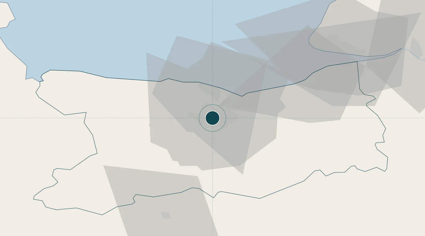
Location
Nearby Logistics Neighbours
Ports
- 1Ouistreham13 km
- 2Deauville38 km
- 3Port Of Le Havre48 km
- 4Honfleur49 km
- 5Fecamp83 km
Cities
- 1Cormelles-le-Royal4 km
- 2Ifs6 km
- 3Cagny8 km
- 4Ranville9 km
- 5Mouen10 km
Airports
- 1Caen Carpiquet airport8 km
- 2Deauville Normandie airport42 km
- 3Le Havre-Octeville Airport50 km
- 4Granville Airport95 km
- 5Cherbourg Manche airport96 km
Trade Zones
- 1ZFU Hérouville-Saint-Clair2 km
- 2ZFU La Guérinière, La Grâce de Dieu4 km
- 3ZFU Le Havre49 km
- 4ZFU Alençon90 km
- 5ZFU Cherbourg-Octeville108 km
DatabookThe Record of Consolidated Knowledge
France beyond logistics?