Transport Functions
Multimodal
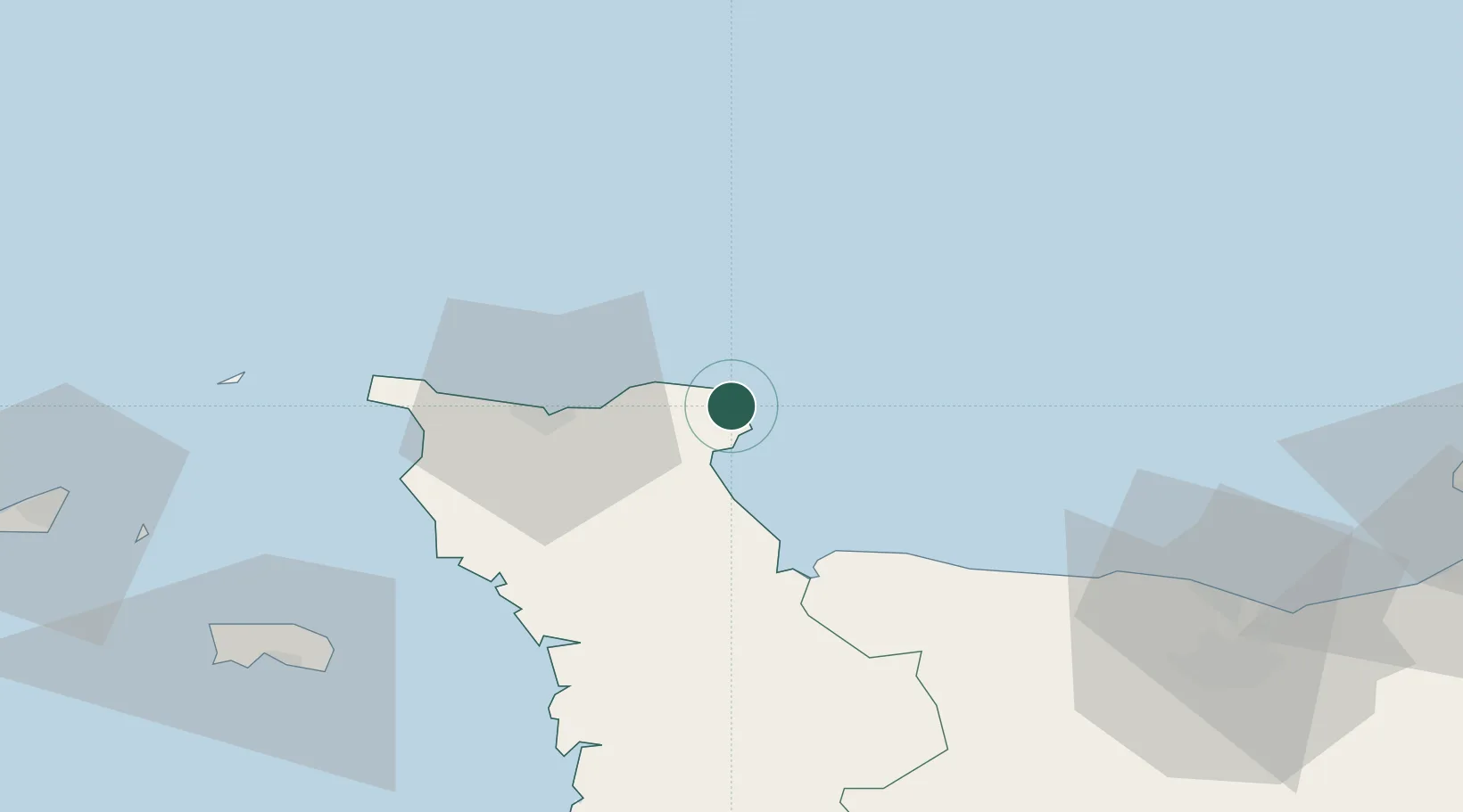
Hub Profile
Place type
Populated place
Region
Normandy
Population
655
Time zone
Europe/Paris
Elevation
1 m
Location
Nearby Logistics Neighbours
Cities
- 1Gatteville-le-Phare2 km
- 2Fermanville13 km
- 3Gonneville15 km
- 4Huberville20 km
- 5Le Mesnil-au-Val21 km
Ports
- 1Rade De Cherbourg27 km
- 2Alderney Harbour68 km
- 3Saint Helier Harbour82 km
- 4Ouistreham85 km
- 5Port De Caen85 km
Airports
- 1Cherbourg Manche airport15 km
- 2Alderney Airport68 km
- 3Caen Carpiquet airport80 km
- 4Jersey Airport84 km
- 5Granville Airport90 km
Trade Zones
- 1ZFU Cherbourg-Octeville29 km
- 2ZFU La Guérinière, La Grâce de Dieu82 km
- 3ZFU Hérouville-Saint-Clair84 km
- 4ZFU Le Havre102 km
- 5Solent Enterprise Zone131 km
DatabookThe Record of Consolidated Knowledge
France beyond logistics?