Transport Functions
Rail
Road
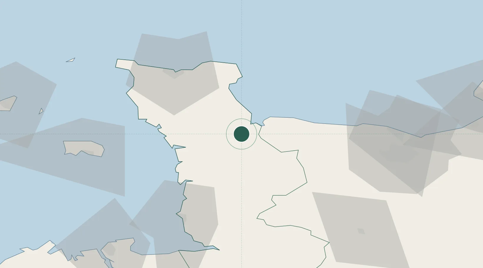
Hub Profile
Place type
Populated place
Region
Normandy
Population
6,950
Time zone
Europe/Paris
Elevation
8 m
Location
Nearby Logistics Neighbours
Cities
- 1Auvers6 km
- 2Sainte-Marie-du-Mont9 km
- 3Isigny-sur-Mer10 km
- 4Fontenay-sur-Mer21 km
- 5Agneaux23 km
Ports
- 1Rade De Cherbourg49 km
- 2Granville58 km
- 3Port De Caen65 km
- 4Saint Helier Harbour65 km
- 5Ouistreham71 km
Airports
- 1Cherbourg Manche airport43 km
- 2Granville Airport52 km
- 3Caen Carpiquet airport58 km
- 4Jersey Airport71 km
- 5Alderney Airport84 km
Trade Zones
- 1ZFU Cherbourg-Octeville49 km
- 2ZFU La Guérinière, La Grâce de Dieu61 km
- 3ZFU Hérouville-Saint-Clair65 km
- 4ZFU Le Havre101 km
- 5ZFU Alençon136 km
DatabookThe Record of Consolidated Knowledge
France beyond logistics?