Transport Functions
Port
Road
Hub Profile
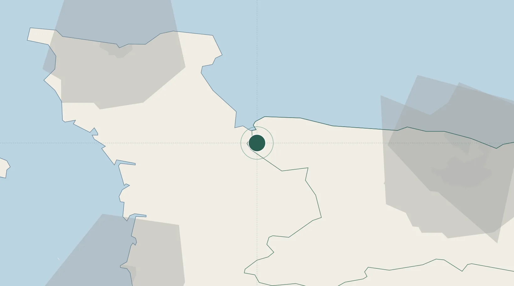
Place type
Populated place
Region
Normandy
Population
3,137
Time zone
Europe/Paris
Elevation
6 m
Location
Nearby Logistics Neighbours
Cities
- 1Carentan10 km
- 2Sainte-Marie-du-Mont13 km
- 3Auvers16 km
- 4Saint-Laurent-sur-Mer17 km
- 5Agneaux20 km
Ports
- 1Rade De Cherbourg55 km
- 2Port De Caen56 km
- 3Ouistreham62 km
- 4Granville63 km
- 5Saint Helier Harbour75 km
Airports
- 1Cherbourg Manche airport47 km
- 2Caen Carpiquet airport49 km
- 3Granville Airport57 km
- 4Jersey Airport80 km
- 5Le Havre-Octeville Airport90 km
Trade Zones
- 1ZFU La Guérinière, La Grâce de Dieu52 km
- 2ZFU Hérouville-Saint-Clair56 km
- 3ZFU Cherbourg-Octeville56 km
- 4ZFU Le Havre91 km
- 5ZFU Alençon130 km
DatabookThe Record of Consolidated Knowledge
France beyond logistics?