UN/LOCODE hub · France
FRNMT
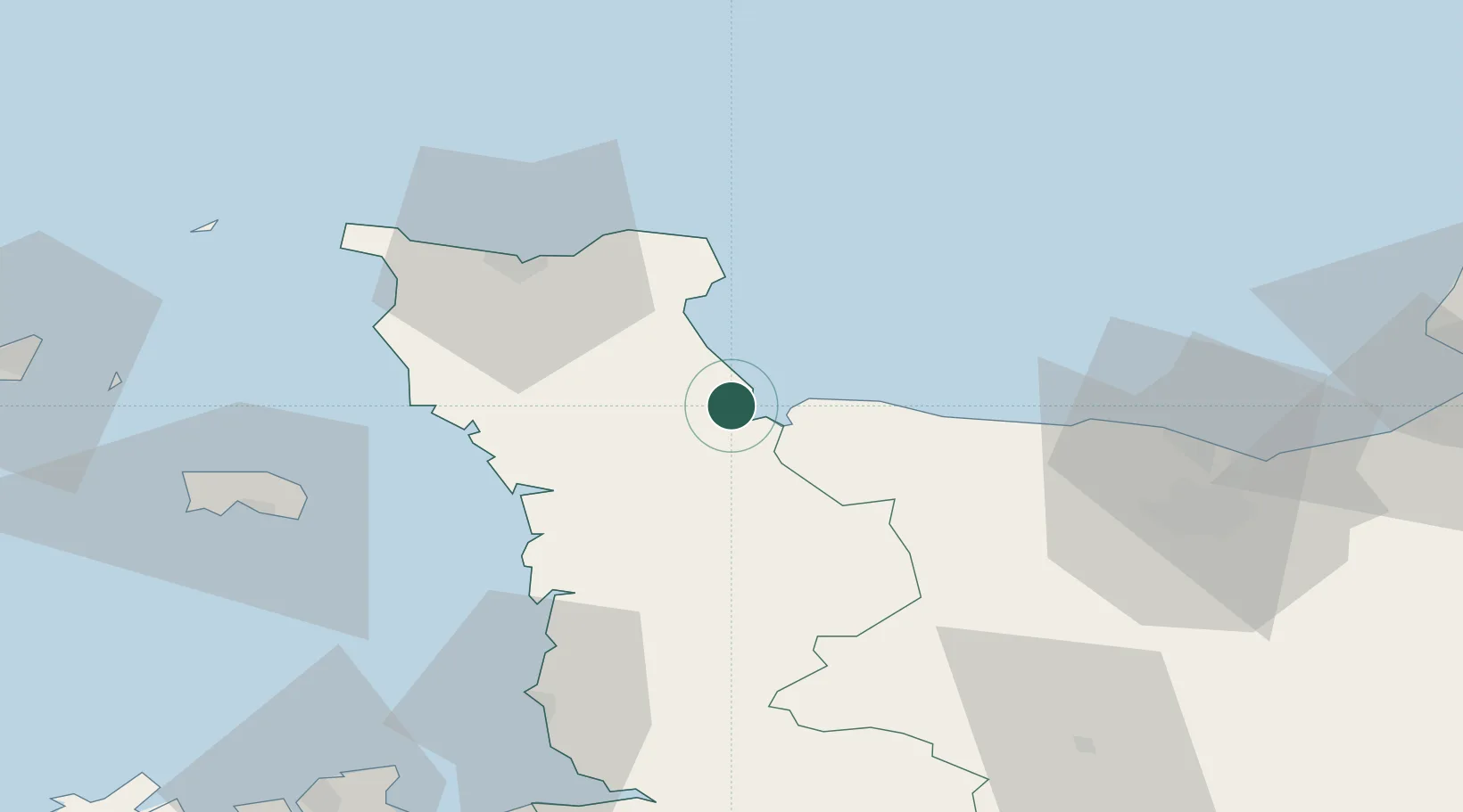
Sainte-Marie-du-Mont
49.3833°, -1.2167°
819
Population
2
Transport functions
Transport Functions
Port
Road
Hub Profile
Place type
Populated place
Region
Normandy
Population
819
Time zone
Europe/Paris
Elevation
31 m
Location
Nearby Logistics Neighbours
Cities
- 1Carentan9 km
- 2Auvers12 km
- 3Isigny-sur-Mer13 km
- 4Fontenay-sur-Mer13 km
- 5Huberville21 km
Ports
- 1Rade De Cherbourg42 km
- 2Port De Caen67 km
- 3Granville67 km
- 4Saint Helier Harbour69 km
- 5Ouistreham71 km
Airports
- 1Cherbourg Manche airport35 km
- 2Caen Carpiquet airport60 km
- 3Granville Airport61 km
- 4Jersey Airport74 km
- 5Alderney Airport81 km
Trade Zones
- 1ZFU Cherbourg-Octeville43 km
- 2ZFU La Guérinière, La Grâce de Dieu63 km
- 3ZFU Hérouville-Saint-Clair66 km
- 4ZFU Le Havre98 km
- 5ZFU Alençon142 km
DatabookThe Record of Consolidated Knowledge
France beyond logistics?