Transport Functions
Multimodal
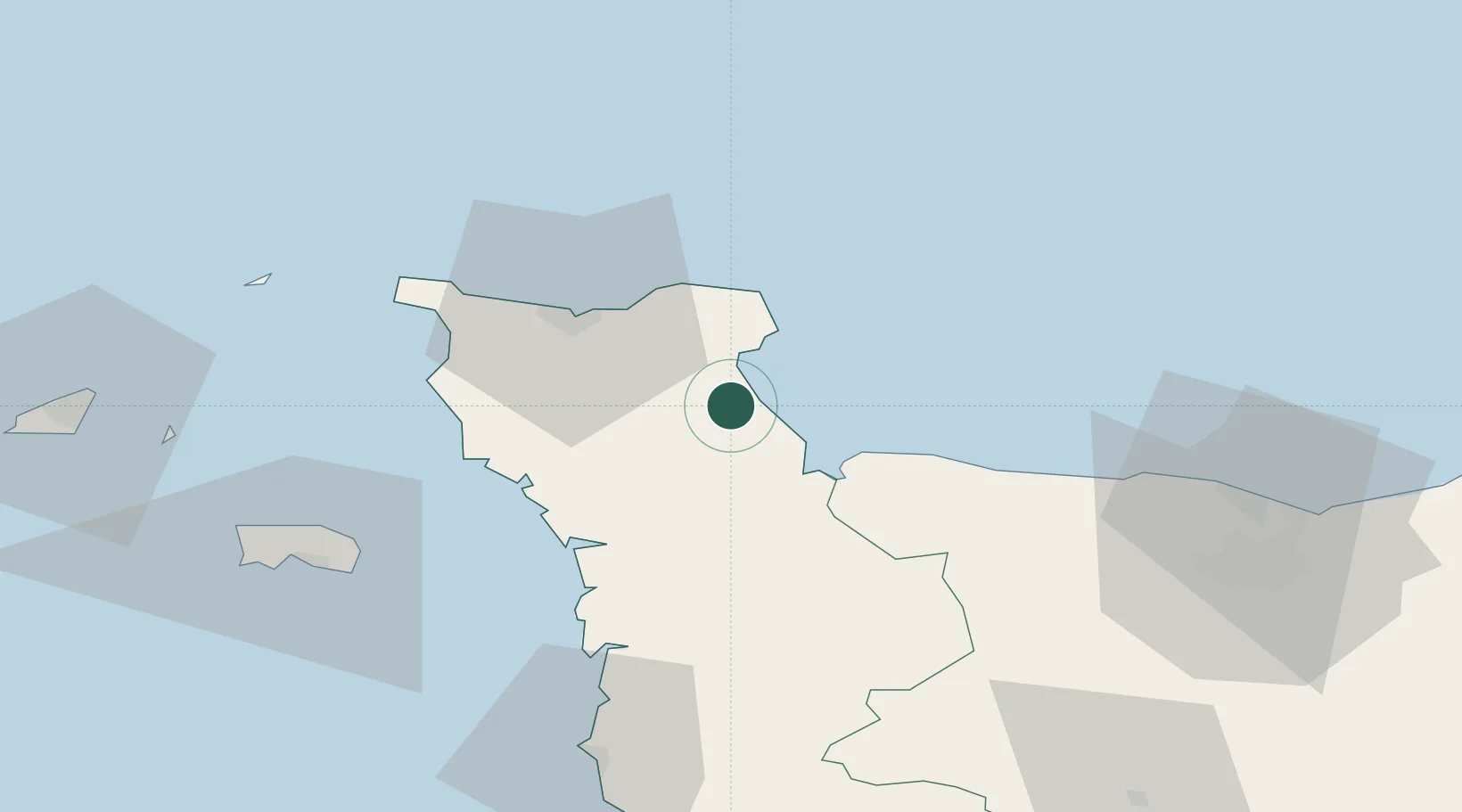
Hub Profile
Place type
Populated place
Region
Normandy
Population
181
Time zone
Europe/Paris
Elevation
27 m
Location
Nearby Logistics Neighbours
Cities
- 1Huberville8 km
- 2Sainte-Marie-du-Mont13 km
- 3Gonneville20 km
- 4Le Mesnil-au-Val20 km
- 5Auvers20 km
Ports
- 1Rade De Cherbourg29 km
- 2Saint Helier Harbour67 km
- 3Alderney Harbour70 km
- 4Granville75 km
- 5Port De Caen78 km
Airports
- 1Cherbourg Manche airport22 km
- 2Granville Airport69 km
- 3Alderney Airport69 km
- 4Jersey Airport71 km
- 5Caen Carpiquet airport71 km
Trade Zones
- 1ZFU Cherbourg-Octeville31 km
- 2ZFU La Guérinière, La Grâce de Dieu74 km
- 3ZFU Hérouville-Saint-Clair77 km
- 4ZFU Le Havre104 km
- 5Dorset Innovation Park149 km
DatabookThe Record of Consolidated Knowledge
France beyond logistics?