Transport Functions
Multimodal
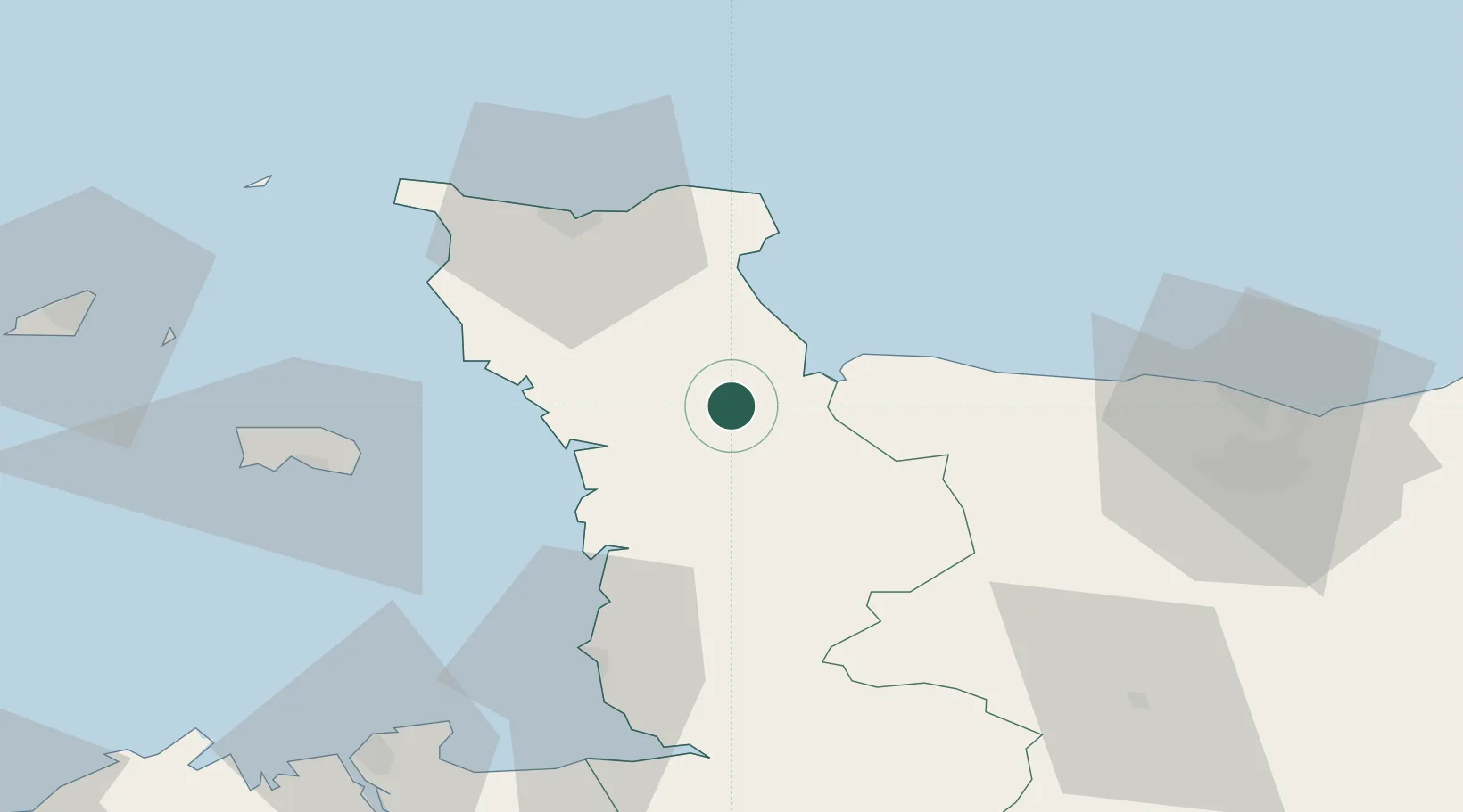
Hub Profile
Place type
Populated place
Region
Normandy
Population
594
Time zone
Europe/Paris
Elevation
16 m
Location
Nearby Logistics Neighbours
Cities
- 1Carentan6 km
- 2Sainte-Marie-du-Mont12 km
- 3Isigny-sur-Mer16 km
- 4Fontenay-sur-Mer20 km
- 5Créances21 km
Ports
- 1Rade De Cherbourg45 km
- 2Granville56 km
- 3Saint Helier Harbour60 km
- 4Port De Caen71 km
- 5Ouistreham77 km
Airports
- 1Cherbourg Manche airport41 km
- 2Granville Airport50 km
- 3Caen Carpiquet airport64 km
- 4Jersey Airport65 km
- 5Alderney Airport79 km
Trade Zones
- 1ZFU Cherbourg-Octeville46 km
- 2ZFU La Guérinière, La Grâce de Dieu67 km
- 3ZFU Hérouville-Saint-Clair71 km
- 4ZFU Le Havre106 km
- 5ZFU Alençon141 km
DatabookThe Record of Consolidated Knowledge
France beyond logistics?