UN/LOCODE hub · France
FRSL8
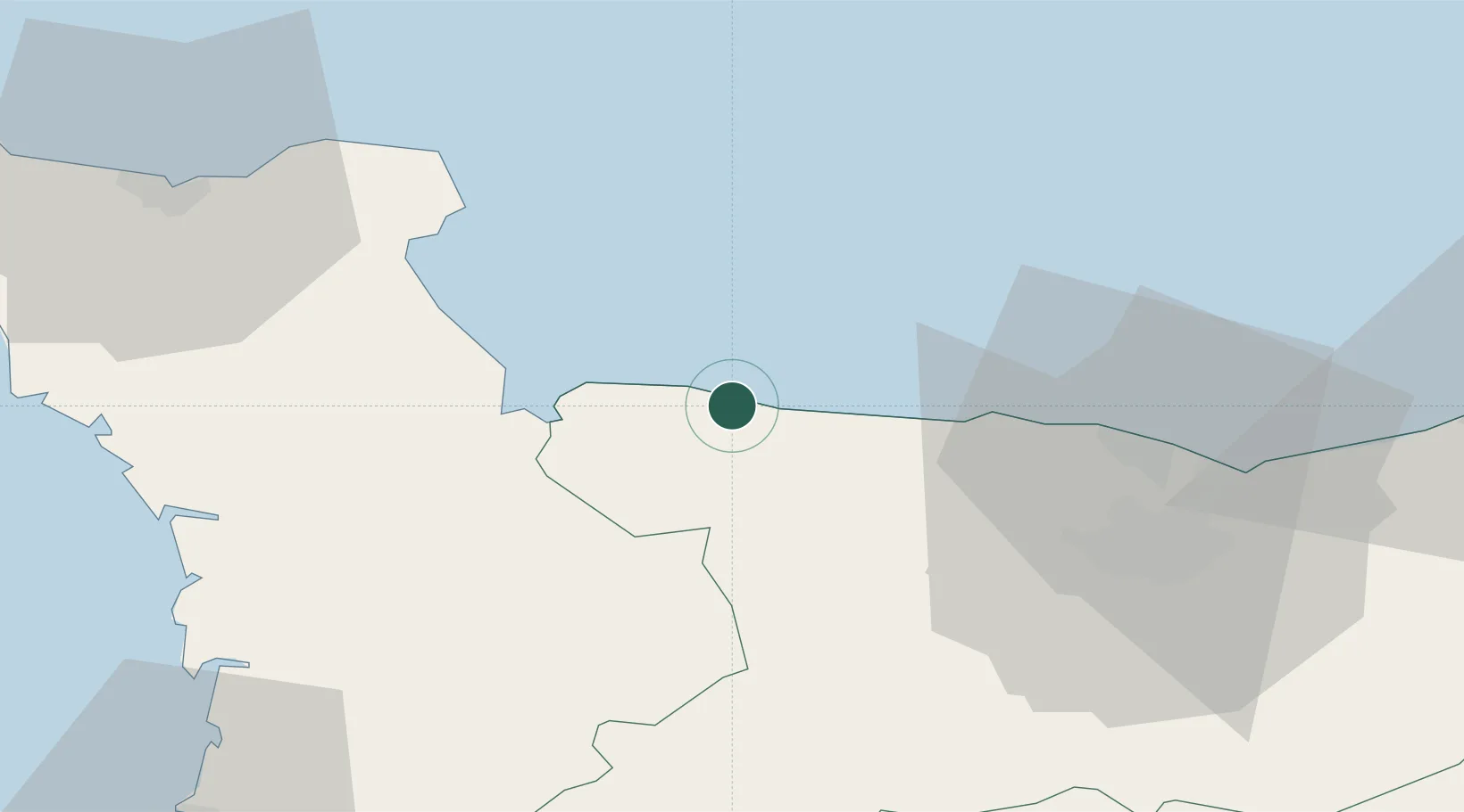
Saint-Laurent-sur-Mer
49.3667°, -0.8833°
193
Population
1
Transport functions
Transport Functions
Port
Hub Profile
Place type
Populated place
Region
Normandy
Population
193
Time zone
Europe/Paris
Elevation
40 m
Location
Nearby Logistics Neighbours
Cities
- 1Port-en-Bessin-Huppain10 km
- 2Bayeux16 km
- 3Isigny-sur-Mer17 km
- 4Arromanches-les-Bains20 km
- 5Asnelles22 km
Ports
- 1Port De Caen44 km
- 2Ouistreham47 km
- 3Rade De Cherbourg63 km
- 4Deauville70 km
- 5Port Of Le Havre74 km
Airports
- 1Caen Carpiquet airport38 km
- 2Cherbourg Manche airport53 km
- 3Le Havre-Octeville Airport73 km
- 4Granville Airport73 km
- 5Deauville Normandie airport75 km
Trade Zones
- 1ZFU La Guérinière, La Grâce de Dieu40 km
- 2ZFU Hérouville-Saint-Clair43 km
- 3ZFU Cherbourg-Octeville64 km
- 4ZFU Le Havre74 km
- 5ZFU Alençon126 km
DatabookThe Record of Consolidated Knowledge
France beyond logistics?