Medium airport · France

Le Havre-Octeville AirportLFOH
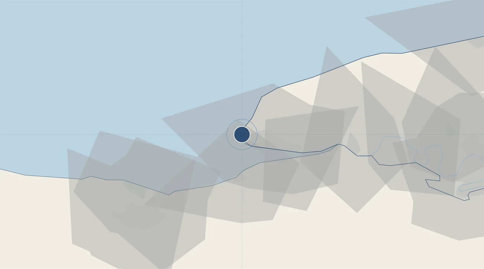
49.5340°, 0.0884°
7,546 ft
Longest runway
1
Runways
313 ft
Elevation

Runway & Layout

Le Havre-Octeville Airport runway & taxiway layout
Runway & taxiway layout — OpenStreetMap (ODbL) / OurAirports

Radio Frequencies

ATIS
126.175 MHz
TWR
135.205 MHz
LE HAVRE TWR
APP
120.35 MHz
RENNES APP
OurAirports

Runways · 1

RunwayDimensions SurfaceTrue headingLit
04/22 7,546 × 130ft Asphalt 044°
OurAirports

Airport Specifications

IATA code
LEH
OurAirports
ICAO code
LFOH
OurAirports
Airport class
Medium airport
OurAirports
Scheduled service
No
OurAirports
Runway surface
Asphalt
OurAirports
Served city
Le Havre
OurAirports

Location

Location of LFOH
Natural Earth 10m (public domain) · Seine-Maritime · LFOH · 49.53, 0.09GoogleOSMYandex

Nearby Logistics Neighbours

Airports
  1. 1Deauville Normandie airport19 km
  2. 2Caen Carpiquet airport56 km
  3. 3Rouen Vallée de Seine Airport81 km
  4. 4Évreux-Fauville (BA 105) Air Base100 km
  5. 5Cherbourg Manche airport113 km
Nearest neighbours — logibook spatial index (haversine) over the source coordinates
Cities
  1. 1Harfleur9 km
  2. 2Le Havre11 km
  3. 3Rolleville11 km
  4. 4Gonfreville-l'Orcher13 km
  5. 5Villerville15 km
Nearest neighbours — logibook spatial index (haversine) over the source coordinates
Ports
  1. 1Port Of Le Havre6 km
  2. 2Honfleur16 km
  3. 3Deauville19 km
  4. 4Fecamp33 km
  5. 5Ouistreham37 km
Nearest neighbours — logibook spatial index (haversine) over the source coordinates
Trade Zones
  1. 1ZFU Le Havre4 km
  2. 2ZFU Hérouville-Saint-Clair49 km
  3. 3ZFU La Guérinière, La Grâce de Dieu53 km
  4. 4ZFU Rouen Bihorel73 km
  5. 5ZFU Évreux96 km
Nearest neighbours — logibook spatial index (haversine) over the source coordinates
DatabookThe Record of Consolidated Knowledge
France beyond logistics?
Browse databook

All Sources

AirportsOurAirports
Public domain
Portsthe NGA World Port Index
Public domain (US gov)
LocationsUN/LOCODE
UN/LOCODE — free
Trade Zonesthe World Bank SEZ database
CC BY 4.0
Trade ZonesOpen Zone Map
CC BY
InfrastructureOpenStreetMap
ODbL 1.0
← France airports