Transport Functions
Port
Hub Profile
Place type
Populated place
Region
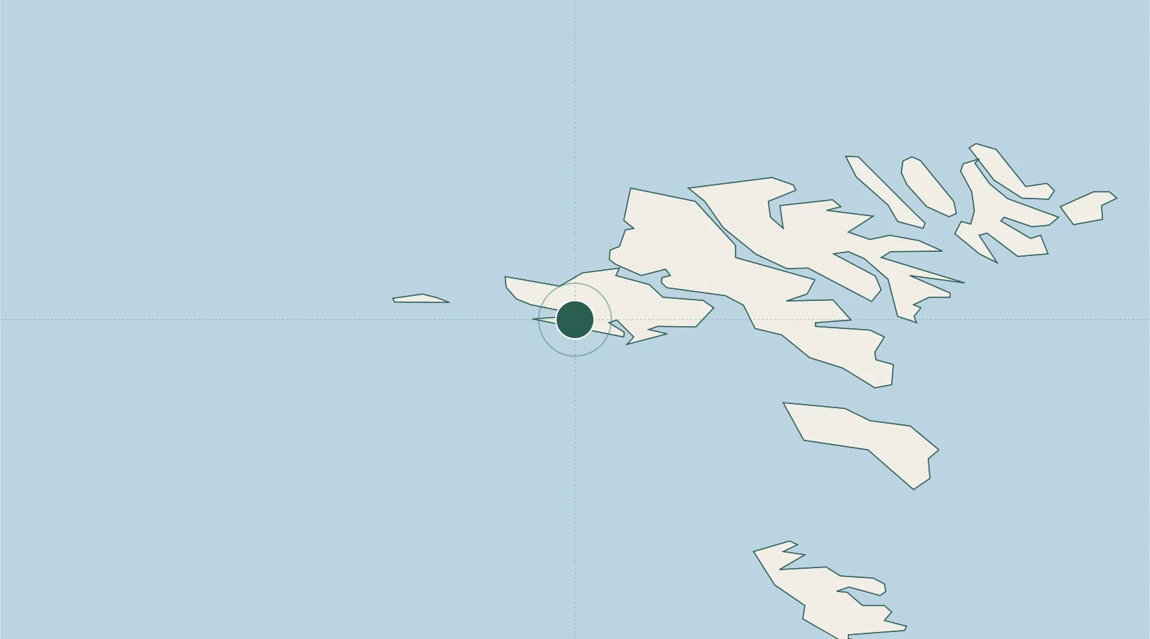
Vágar
Population
1,148
Time zone
Atlantic/Faroe
Elevation
79 m
Location
Nearby Logistics Neighbours
Cities
- 1Streymnes21 km
- 2Kollafjördur22 km
- 3Norÿskáli23 km
- 4Velbastadur25 km
- 5Eidi28 km
Ports
- 1Vestmanna12 km
- 2Torshavn30 km
- 3Runavik31 km
- 4Fuglafjordur33 km
- 5Klaksvik42 km
Airports
- 1Vágar Airport1 km
- 2Mykines Heliport18 km
- 3Koltur Heliport20 km
- 4Boðanes Heliport29 km
- 5Klaksvík Heliport41 km
Trade Zones
DatabookThe Record of Consolidated Knowledge
Faroe Islands beyond logistics?