Runway & Layout

Airport Specifications
ICAO code
EKMS
Airport class
Heliport
Scheduled service
Yes
Served city
Mykines
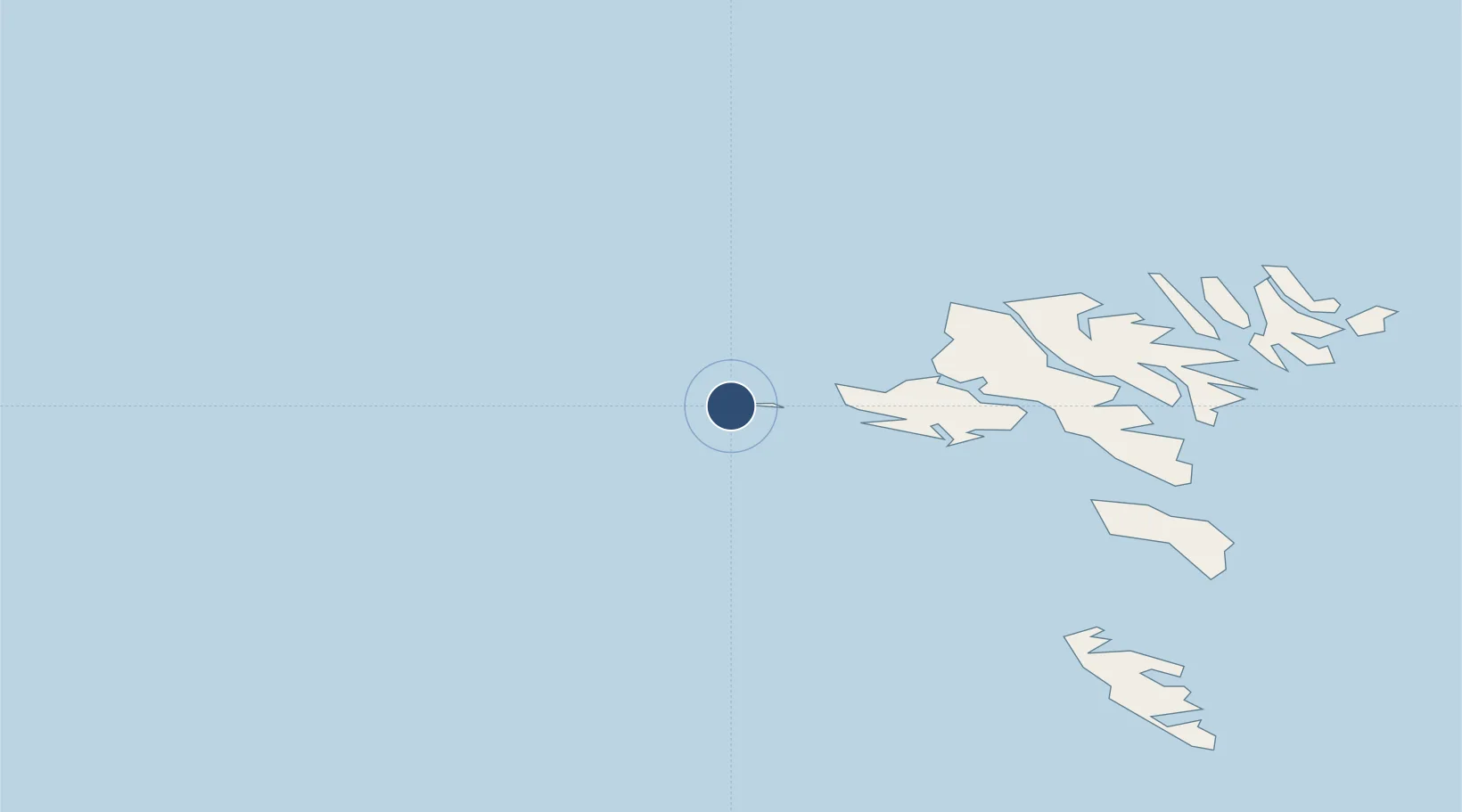
Location
Nearby Logistics Neighbours
Airports
- 1Vágar Airport20 km
- 2Koltur Heliport38 km
- 3Boðanes Heliport47 km
- 4Klaksvík Heliport57 km
- 5Skúvoy Heliport58 km
Cities
- 1Sorvágur18 km
- 2Streymnes34 km
- 3Norÿskáli36 km
- 4Eidi37 km
- 5Kollafjördur40 km
Ports
- 1Sorvagur21 km
- 2Vestmanna26 km
- 3Fuglafjordur47 km
- 4Torshavn48 km
- 5Runavik48 km
Trade Zones
DatabookThe Record of Consolidated Knowledge
Faroe Islands beyond logistics?