Runway & Layout

Airport Specifications
ICAO code
EKKV
Airport class
Heliport
Scheduled service
Yes
Served city
Klaksvík
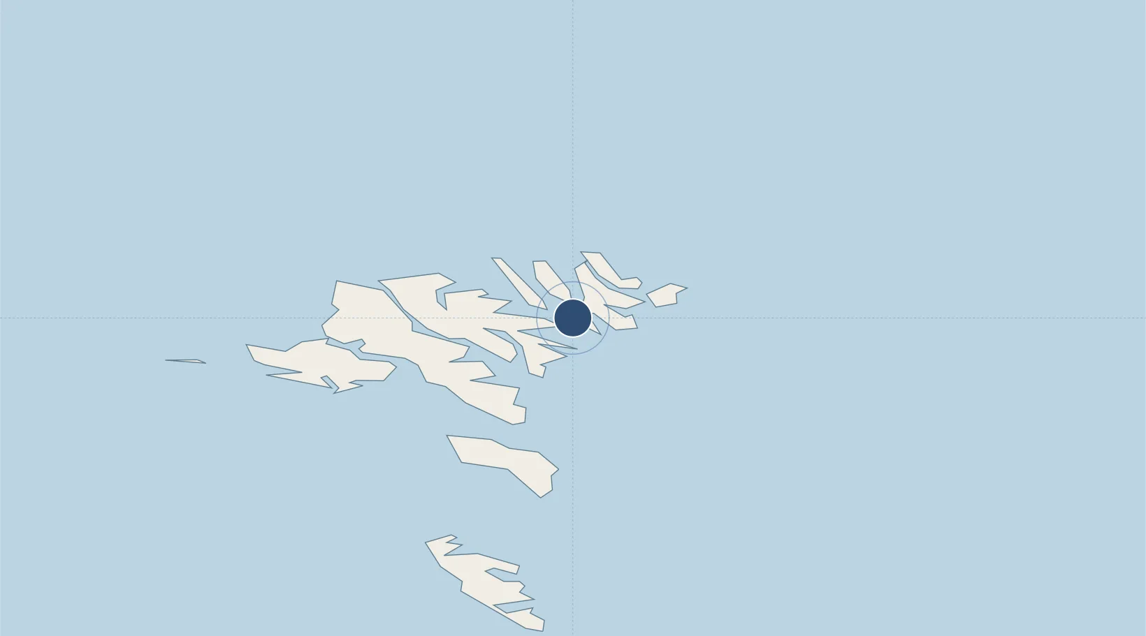
Location
Nearby Logistics Neighbours
Airports
- 1Svínoy Heliport14 km
- 2Kirkja Heliport18 km
- 3Hattarvík Heliport20 km
- 4Boðanes Heliport24 km
- 5Koltur Heliport33 km
Ports
- 1Klaksvik2 km
- 2Fuglafjordur12 km
- 3Runavik13 km
- 4Torshavn26 km
- 5Vestmanna32 km
Trade Zones
DatabookThe Record of Consolidated Knowledge
Faroe Islands beyond logistics?