UN/LOCODE hub · Faroe Islands
FOKOL
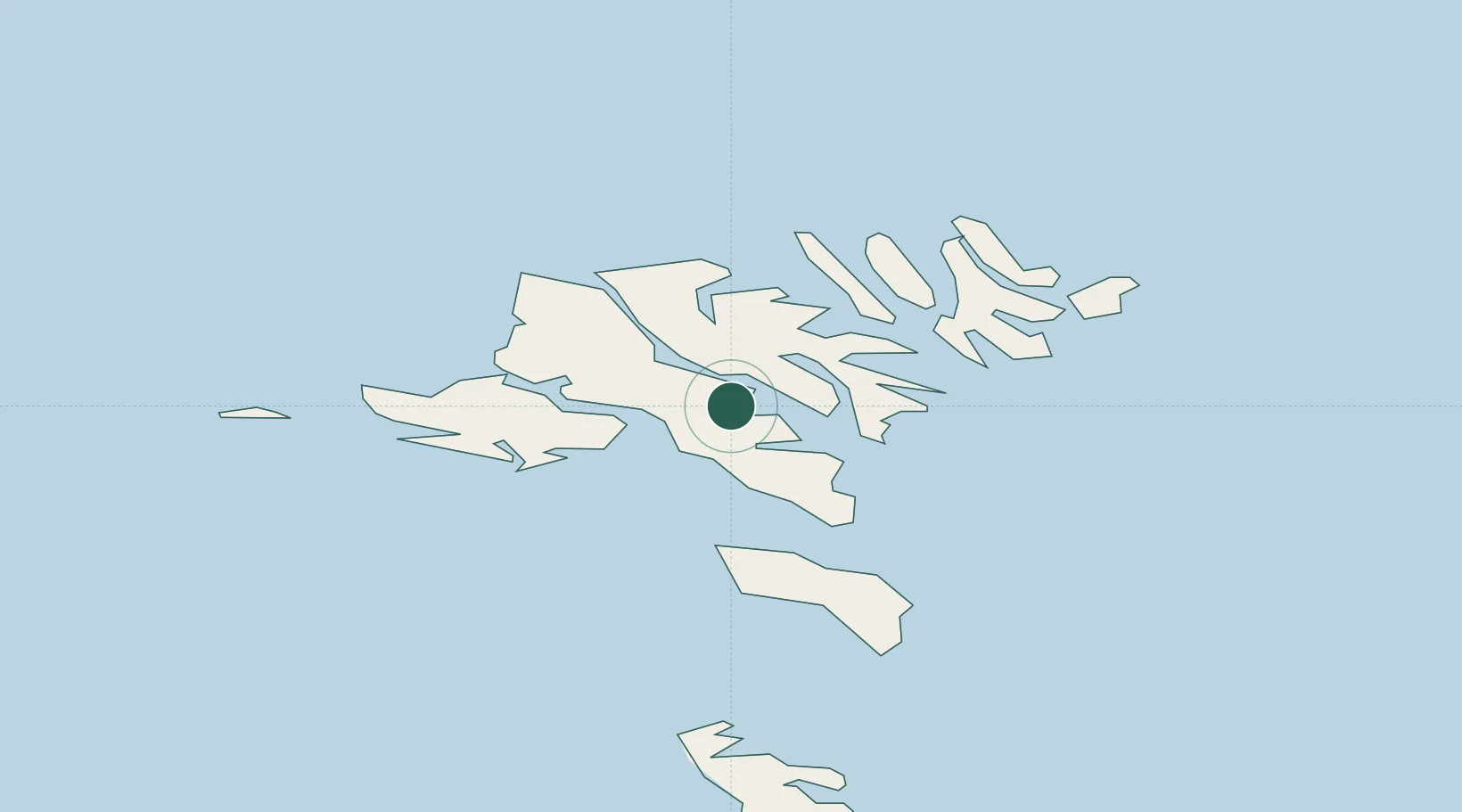
Kollafjördur
62.1167°, -6.8833°
830
Population
2
Transport functions
Transport Functions
Port
Road
Hub Profile
Place type
Populated place
Region
Streymoy
Population
830
Time zone
Atlantic/Faroe
Elevation
31 m
Location
Nearby Logistics Neighbours
Cities
- 1Strendur7 km
- 2Skáli7 km
- 3Sjovar havn7 km
- 4Toftir8 km
- 5Runavík9 km
Ports
- 1Runavik9 km
- 2Torshavn15 km
- 3Vestmanna15 km
- 4Fuglafjordur15 km
- 5Sorvagur19 km
Airports
- 1Boðanes Heliport12 km
- 2Koltur Heliport15 km
- 3Klaksvík Heliport20 km
- 4Vágar Airport21 km
- 5Svínoy Heliport33 km
Trade Zones
DatabookThe Record of Consolidated Knowledge
Faroe Islands beyond logistics?