Channel & Berth Profile
Pilotage, Tugs & Services
Pilotage compulsoryNO
Pilotage availableYES
Pilotage advisableYES
Potable waterYES
Diesel bunkersYES
MedicalYES
Garbage disposalYES
Facilities & Capabilities
ContainerNO
Ro-RoNO
Liquid bulkNO
Dry bulkNO
Oil terminalNO
Break bulkYES
Dry dock—
RepairsNO
BunkeringYES
Rail linkNO
Dangerous cargo—
ISPS securityYES
Harbour Specifications
Harbour size
Very Small
Harbour type
Coastal (Natural)
Shelter
Excellent
Water body
North Atlantic Ocean
Tidal range
2 m
Pilotage
No
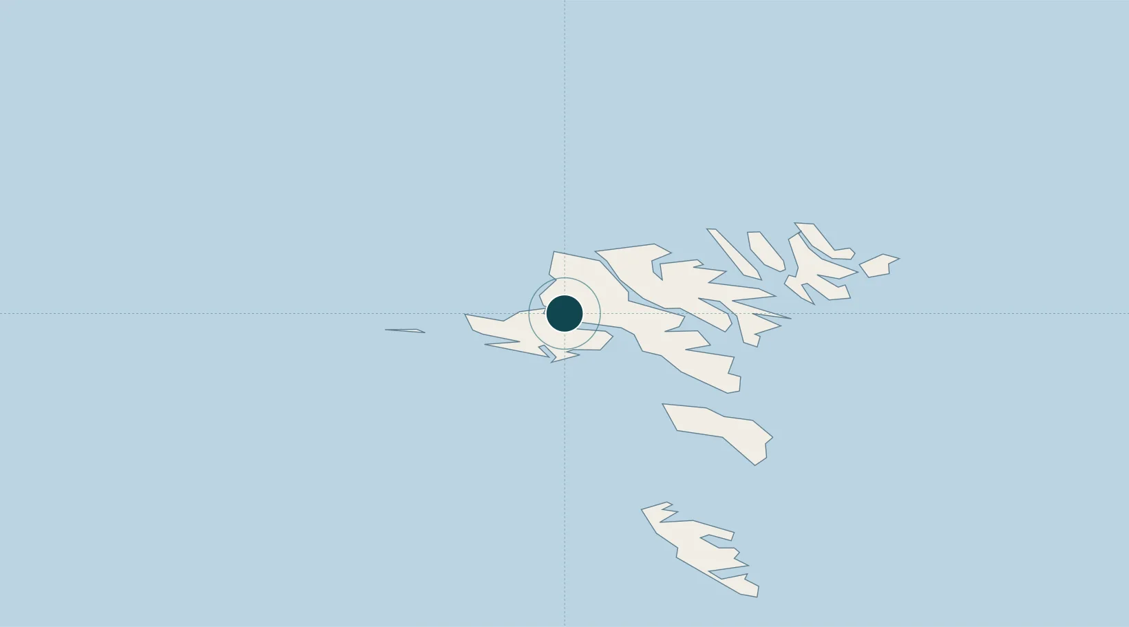
Location
Nearby Logistics Neighbours
Ports
- 1Sorvagur9 km
- 2Fuglafjordur22 km
- 3Runavik24 km
- 4Torshavn27 km
- 5Klaksvik32 km
Cities
- 1Streymnes10 km
- 2Norÿskáli11 km
- 3Sorvágur12 km
- 4Kollafjördur15 km
- 5Eidi17 km
Airports
- 1Vágar Airport11 km
- 2Koltur Heliport21 km
- 3Mykines Heliport26 km
- 4Boðanes Heliport26 km
- 5Klaksvík Heliport32 km
Trade Zones
DatabookThe Record of Consolidated Knowledge
Faroe Islands beyond logistics?