Transport Functions
Port
Hub Profile
Place type
Provincial seat
Region
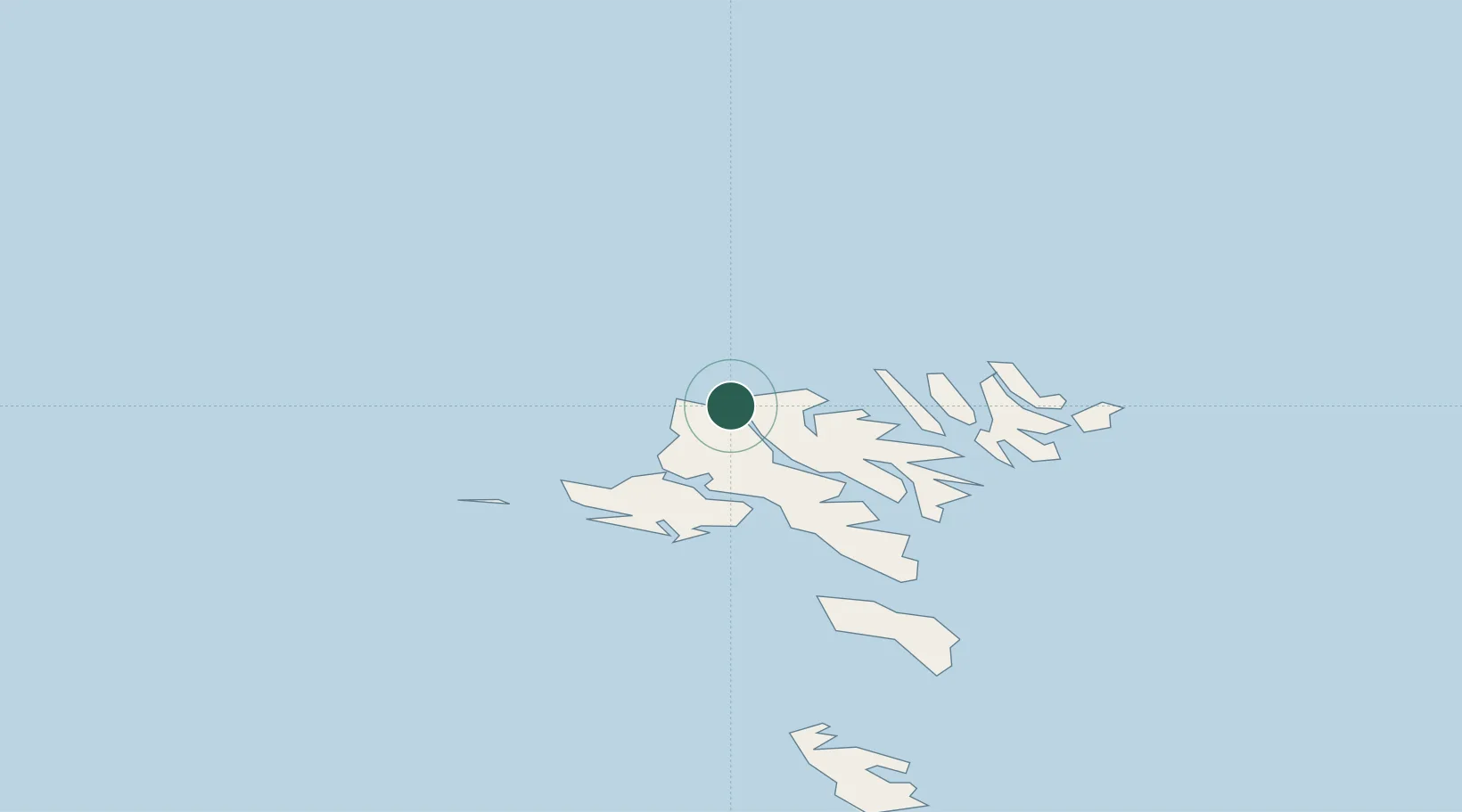
Eysturoy
Population
634
Time zone
Atlantic/Faroe
Location
Nearby Logistics Neighbours
Cities
- 1Norÿskáli10 km
- 2Streymnes12 km
- 3Kollafjördur23 km
- 4Skáli23 km
- 5Glyvrar27 km
Ports
- 1Fuglafjordur16 km
- 2Vestmanna17 km
- 3Sorvagur26 km
- 4Klaksvik27 km
- 5Runavik28 km
Airports
- 1Klaksvík Heliport28 km
- 2Vágar Airport28 km
- 3Boðanes Heliport35 km
- 4Koltur Heliport36 km
- 5Mykines Heliport37 km
Trade Zones
DatabookThe Record of Consolidated Knowledge
Faroe Islands beyond logistics?