Channel & Berth Profile
Pilotage, Tugs & Services
Pilotage compulsoryNO
Pilotage availableYES
Pilotage advisableYES
Potable waterYES
Diesel bunkersYES
MedicalYES
Facilities & Capabilities
Container—
Ro-Ro—
Liquid bulkYES
Dry bulk—
Oil terminalYES
Break bulkYES
Dry dock—
RepairsNO
BunkeringYES
Rail linkNO
Dangerous cargo—
ISPS security—
Harbour Specifications
Harbour size
Very Small
Harbour type
Coastal (Natural)
Shelter
Good
Water body
Norwegian Sea; North Atlantic Ocean
Tidal range
1.8 m
Pilotage
No
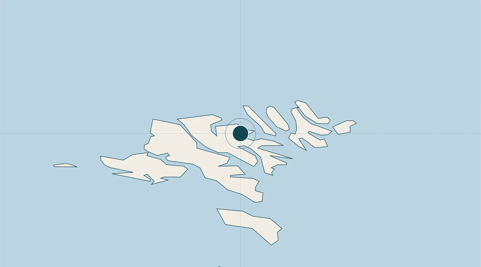
Location
Nearby Logistics Neighbours
Airports
- 1Klaksvík Heliport12 km
- 2Svínoy Heliport24 km
- 3Boðanes Heliport26 km
- 4Kirkja Heliport26 km
- 5Hattarvík Heliport29 km
Trade Zones
DatabookThe Record of Consolidated Knowledge
Faroe Islands beyond logistics?