Transport Functions
Port
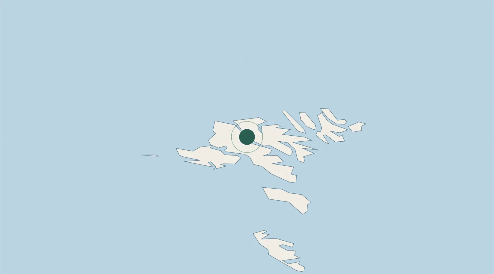
Location
Nearby Logistics Neighbours
Cities
- 1Streymnes2 km
- 2Eidi10 km
- 3Kollafjördur13 km
- 4Skáli14 km
- 5Strendur17 km
Ports
- 1Fuglafjordur11 km
- 2Vestmanna11 km
- 3Runavik18 km
- 4Sorvagur20 km
- 5Klaksvik22 km
Airports
- 1Klaksvík Heliport22 km
- 2Vágar Airport22 km
- 3Boðanes Heliport25 km
- 4Koltur Heliport26 km
- 5Svínoy Heliport35 km
Trade Zones
DatabookThe Record of Consolidated Knowledge
Faroe Islands beyond logistics?