Seaport · Faroe Islands
RunavikFORVK
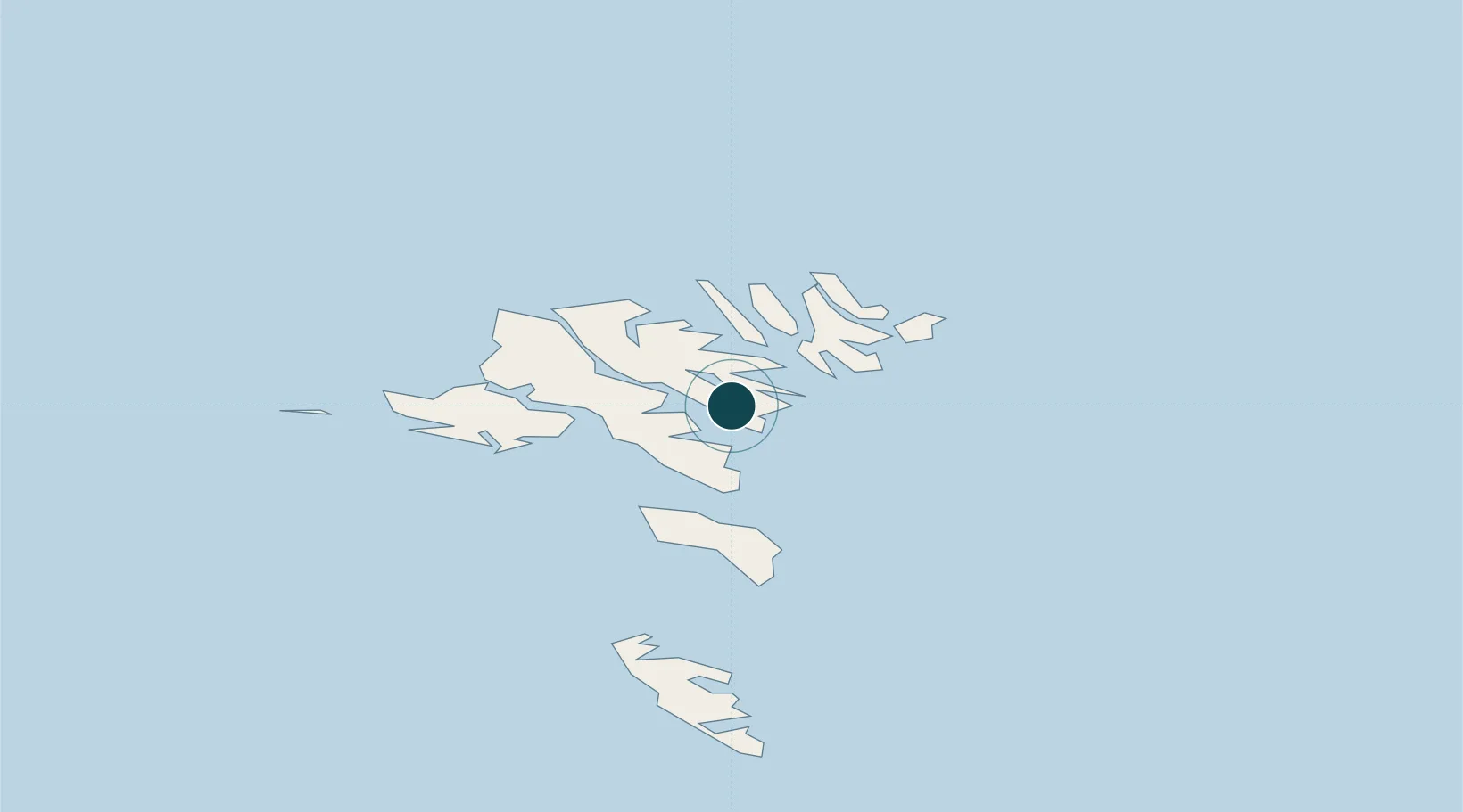
62.1167°, -6.7167°
14.0 m
Channel depth
14.5
Port liner connectivity
Channel & Berth Profile
Pilotage, Tugs & Services
Pilotage compulsoryNO
Pilotage availableYES
Potable waterYES
Diesel bunkersYES
MedicalYES
Facilities & Capabilities
ContainerYES
Ro-RoYES
Liquid bulk—
Dry bulk—
Oil terminalNO
Break bulkYES
Dry dockNO
RepairsNO
BunkeringYES
Rail linkNO
Dangerous cargo—
ISPS securityYES
Harbour Specifications
Harbour size
Very Small
Harbour type
Coastal (Natural)
Shelter
Fair
Water body
Norwegian Sea; North Atlantic Ocean
Pilotage
No
Liner Connectivity
14.5
PLSCI
Port Liner Shipping Connectivity Index for Runavik, as published by UNCTAD for the latest available quarter. Higher values indicate stronger scheduled liner-shipping integration.
Shown relative to the highest per-port PLSCI in the dataset (1,657.9).
Location
Nearby Logistics Neighbours
Ports
- 1Torshavn13 km
- 2Klaksvik15 km
- 3Fuglafjordur15 km
- 4Vestmanna24 km
- 5Sorvagur28 km
Cities
- 1Strendur2 km
- 2Glyvrar2 km
- 3Toftir2 km
- 4Sjovar havn3 km
- 5Skáli5 km
Airports
- 1Boðanes Heliport11 km
- 2Klaksvík Heliport13 km
- 3Koltur Heliport20 km
- 4Svínoy Heliport26 km
- 5Vágar Airport30 km
Trade Zones
DatabookThe Record of Consolidated Knowledge
Faroe Islands beyond logistics?