UN/LOCODE hub · Faroe Islands
FOVBR
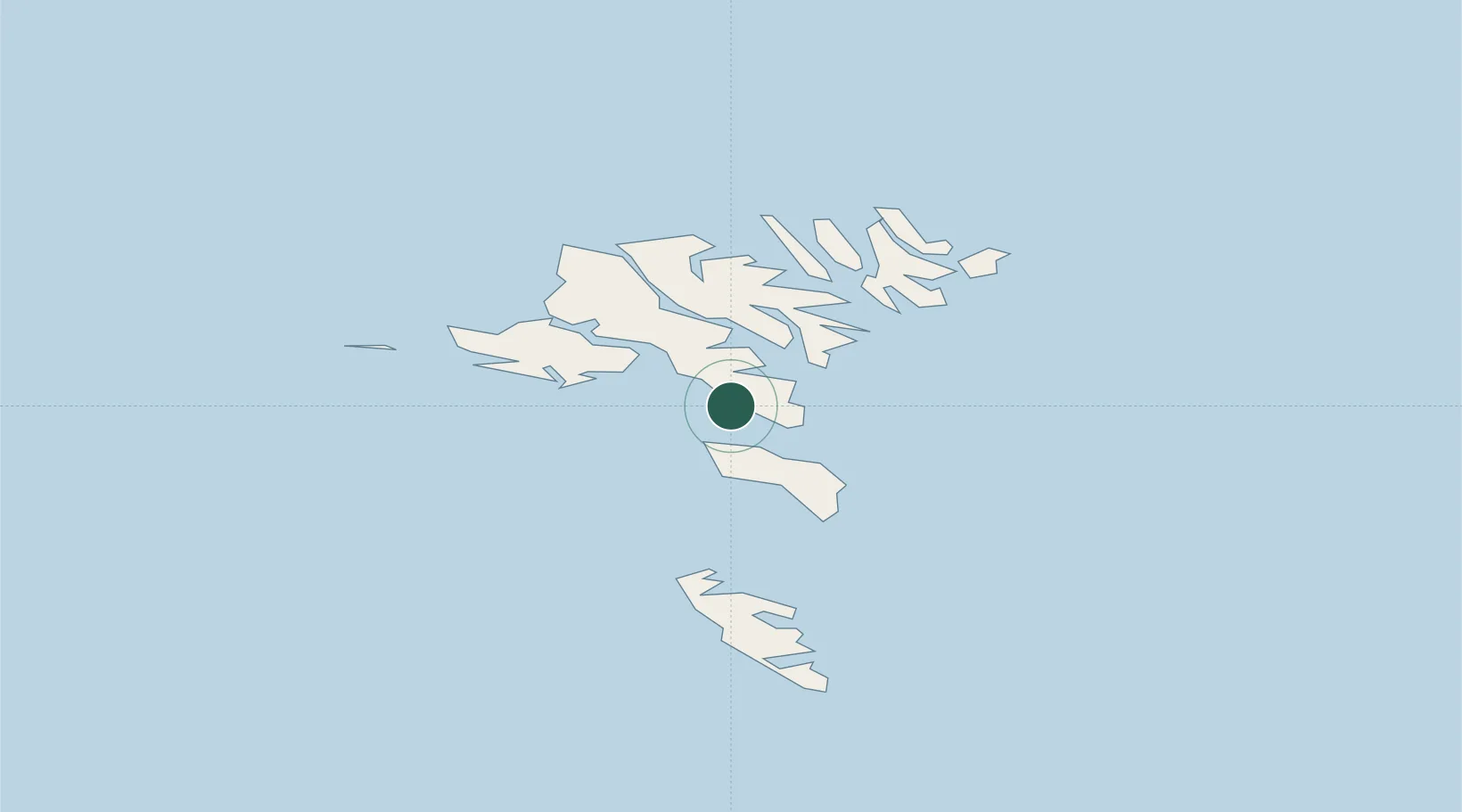
Velbastadur
61.9833°, -6.8500°
252
Population
1
Transport functions
Transport Functions
Multimodal
Hub Profile
Place type
Populated place
Region
Streymoy
Population
252
Time zone
Atlantic/Faroe
Elevation
1 m
Location
Nearby Logistics Neighbours
Cities
- 1Thorshavn6 km
- 2Hoyvik8 km
- 3Nólsoy10 km
- 4Sjovar havn14 km
- 5Toftir14 km
Ports
- 1Torshavn6 km
- 2Runavik16 km
- 3Sorvagur24 km
- 4Vestmanna25 km
- 5Fuglafjordur30 km
Airports
- 1Koltur Heliport6 km
- 2Boðanes Heliport6 km
- 3Skúvoy Heliport24 km
- 4Vágar Airport24 km
- 5Klaksvík Heliport30 km
Trade Zones
DatabookThe Record of Consolidated Knowledge
Faroe Islands beyond logistics?