Transport Functions
Port
Road
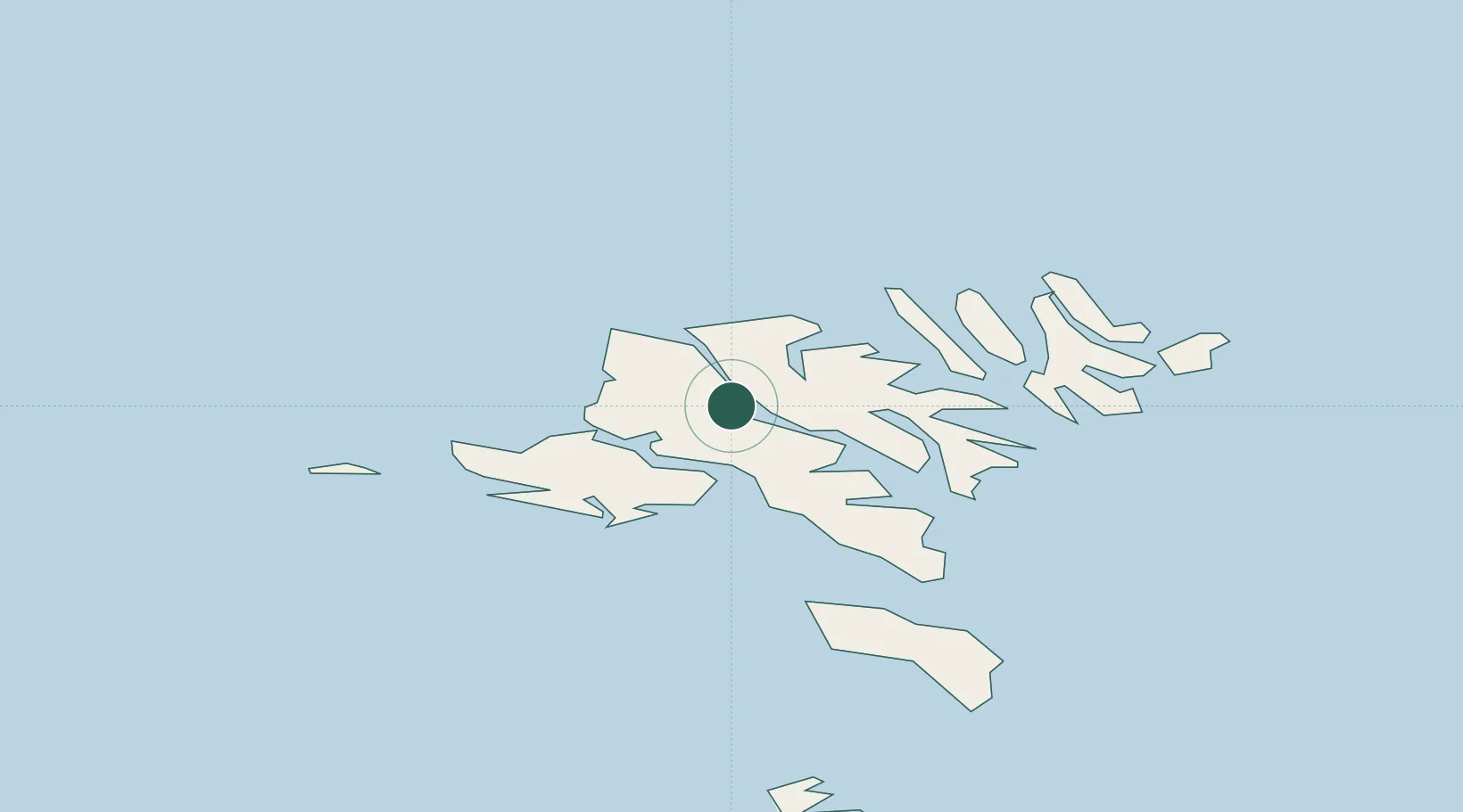
Hub Profile
Place type
Populated place
Region
Streymoy
Population
319
Time zone
Atlantic/Faroe
Elevation
170 m
Location
Nearby Logistics Neighbours
Cities
- 1Norÿskáli2 km
- 2Kollafjördur12 km
- 3Eidi12 km
- 4Skáli14 km
- 5Strendur17 km
Ports
- 1Vestmanna10 km
- 2Fuglafjordur13 km
- 3Sorvagur18 km
- 4Runavik18 km
- 5Klaksvik23 km
Airports
- 1Vágar Airport20 km
- 2Klaksvík Heliport23 km
- 3Boðanes Heliport24 km
- 4Koltur Heliport24 km
- 5Mykines Heliport34 km
Trade Zones
DatabookThe Record of Consolidated Knowledge
Faroe Islands beyond logistics?