Channel & Berth Profile
Pilotage, Tugs & Services
Pilotage compulsoryNO
Pilotage availableYES
Tug assistanceNO
Salvage tugsNO
Shore powerYES
Potable waterYES
Diesel bunkersYES
MedicalYES
Garbage disposalYES
Facilities & Capabilities
ContainerYES
Ro-RoYES
Liquid bulkYES
Dry bulk—
Oil terminalYES
Break bulkYES
Dry dock—
RepairsNO
BunkeringYES
Rail linkNO
Dangerous cargo—
ISPS securityYES
Harbour Specifications
Harbour size
Very Small
Harbour type
Coastal (Natural)
Shelter
Good
Water body
Norwegian Sea; North Atlantic Ocean
Tidal range
1.1 m
Pilotage
No
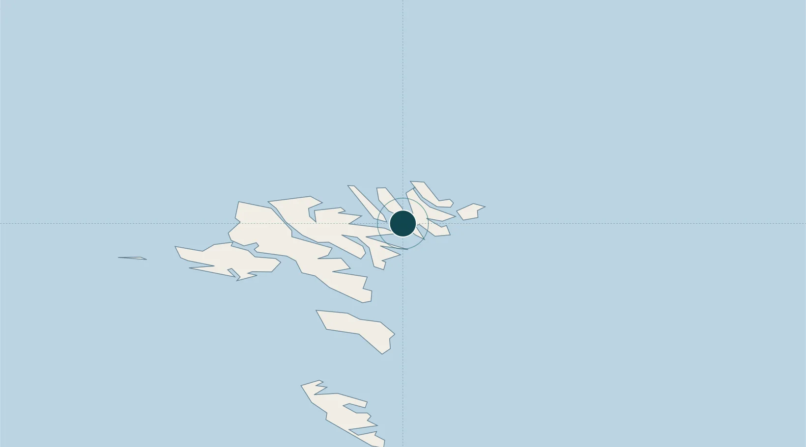
Location
Nearby Logistics Neighbours
Ports
- 1Fuglafjordur11 km
- 2Runavik15 km
- 3Torshavn27 km
- 4Vestmanna32 km
- 5Sorvagur38 km
Airports
- 1Klaksvík Heliport2 km
- 2Svínoy Heliport13 km
- 3Kirkja Heliport17 km
- 4Hattarvík Heliport19 km
- 5Boðanes Heliport25 km
Trade Zones
DatabookThe Record of Consolidated Knowledge
Faroe Islands beyond logistics?