Runway & Layout

Airport Specifications
Airport class
Heliport
Scheduled service
Yes
Served city
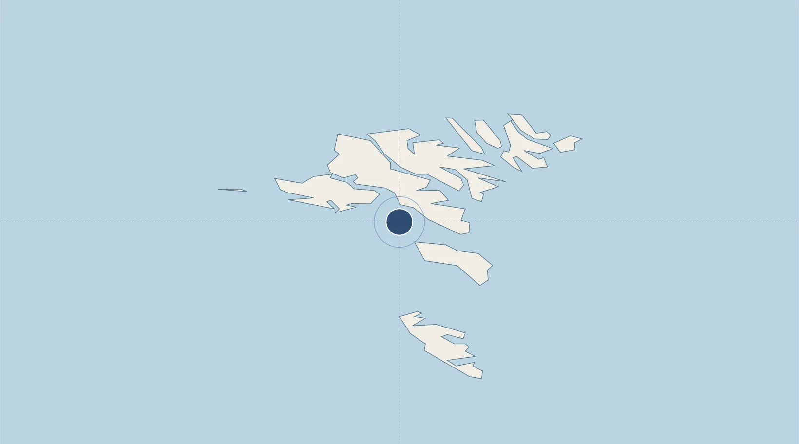
Koltur
Location
Nearby Logistics Neighbours
Airports
- 1Boðanes Heliport12 km
- 2Vágar Airport19 km
- 3Skúvoy Heliport25 km
- 4Klaksvík Heliport33 km
- 5Stóra Dímun Heliport35 km
Cities
- 1Velbastadur6 km
- 2Thorshavn11 km
- 3Hoyvik12 km
- 4Kollafjördur15 km
- 5Nólsoy16 km
Ports
- 1Torshavn11 km
- 2Sorvagur19 km
- 3Runavik20 km
- 4Vestmanna21 km
- 5Fuglafjordur31 km
Trade Zones
DatabookThe Record of Consolidated Knowledge
Faroe Islands beyond logistics?