Channel & Berth Profile
Pilotage, Tugs & Services
Pilotage compulsoryYES
Pilotage availableYES
Pilotage advisableYES
Tug assistanceYES
Salvage tugsNO
Potable waterYES
Diesel bunkersYES
MedicalYES
Garbage disposalYES
Facilities & Capabilities
ContainerYES
Ro-RoYES
Liquid bulkYES
Dry bulk—
Oil terminalYES
Break bulkYES
Dry dockNO
RepairsNO
BunkeringYES
Rail linkNO
Dangerous cargo—
ISPS security—
Harbour Specifications
Harbour size
Very Small
Harbour type
Coastal (Breakwater)
Shelter
Poor
Water body
Norwegian Sea; North Atlantic Ocean
Tidal range
1 m
Overhead limit
Yes
Pilotage
Yes
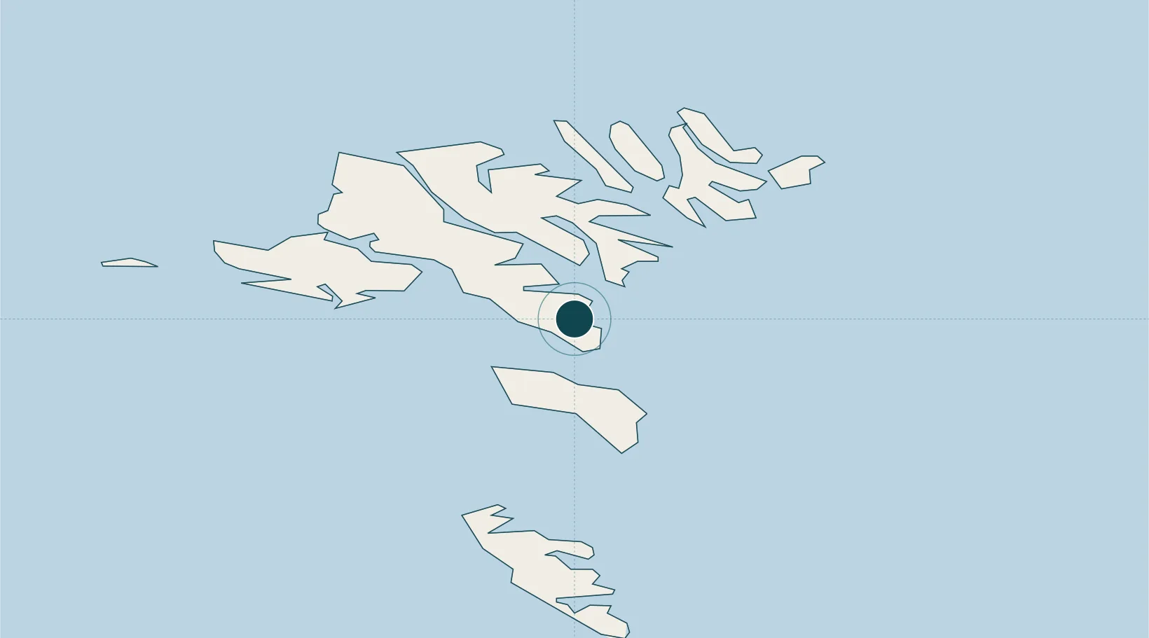
Location
Container Terminals · 1
PORT OF TORSHAVN
PTOR
Nearby Logistics Neighbours
Ports
- 1Runavik13 km
- 2Klaksvik27 km
- 3Vestmanna27 km
- 4Sorvagur28 km
- 5Fuglafjordur28 km
Cities
- 1Thorshavn2 km
- 2Hoyvik4 km
- 3Nólsoy5 km
- 4Velbastadur6 km
- 5Sjovar havn11 km
Airports
- 1Boðanes Heliport2 km
- 2Koltur Heliport11 km
- 3Skúvoy Heliport26 km
- 4Klaksvík Heliport26 km
- 5Vágar Airport28 km
Trade Zones
DatabookThe Record of Consolidated Knowledge
Faroe Islands beyond logistics?