UN/LOCODE hub · Finland
FISKV

Kilpilahti (Sköldvik)

60.3000°, 25.5500°
1
Transport functions

Transport Functions

Port
Kilpilahti (Sköldvik) is also a profiled seaport →
UN/LOCODE

Hub Profile

Region
18
GeoNames

Location

Location of FISKV
Natural Earth 10m (public domain) · 18 · FISKV · 60.30, 25.55GoogleOSMYandex

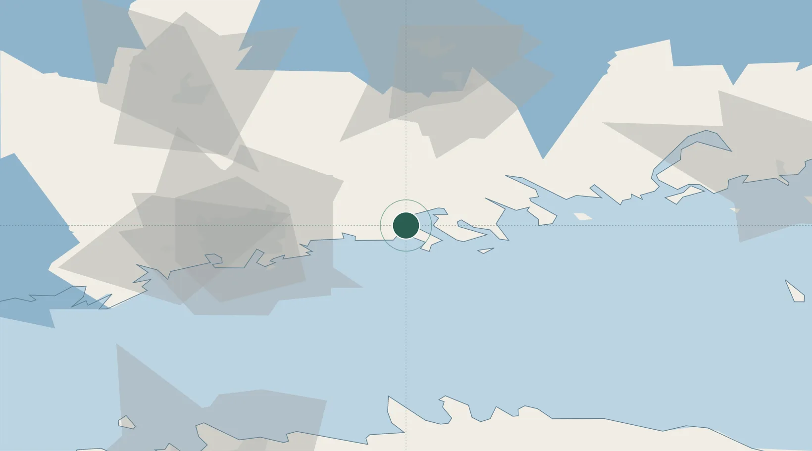
Nearby Logistics Neighbours

Cities
  1. 1Tolkis (Tolkkinen)4 km
  2. 2Borgå (Porvoo)13 km
  3. 3Sibbo (Sipoo)17 km
  4. 4Helsingfors (Helsinki)22 km
  5. 5Vuosaari (Nordsjö)22 km
Nearest neighbours — logibook spatial index (haversine) over the source coordinates
Ports
  1. 1Tolkkinen30 km
  2. 2Helsinki36 km
  3. 3Loviisa41 km
  4. 4Porkkala69 km
  5. 5Kotka80 km
Nearest neighbours — logibook spatial index (haversine) over the source coordinates
Airports
  1. 1Helsinki Vantaa Airport32 km
  2. 2Helsinki East-Redstone Aerodrome61 km
  3. 3Utti Air Base101 km
  4. 4Tallinn Linnahall Heliport105 km
  5. 5Lennart Meri Tallinn Airport106 km
Nearest neighbours — logibook spatial index (haversine) over the source coordinates
Trade Zones
  1. 1Port of Hamina-Kotka79 km
  2. 2Muuga Free Zone116 km
  3. 3Paldiski Free Zone135 km
  4. 4Port of Sillamäe156 km
  5. 5Freeport of Hanko157 km
Nearest neighbours — logibook spatial index (haversine) over the source coordinates
DatabookThe Record of Consolidated Knowledge
Finland beyond logistics?
Browse databook

All Sources

LocationsUN/LOCODE
UN/LOCODE — free
Portsthe NGA World Port Index
Public domain (US gov)
AirportsOurAirports
Public domain
Trade Zonesthe World Bank SEZ database
CC BY 4.0
Trade ZonesOpen Zone Map
CC BY
← Finland locations