UN/LOCODE hub · Finland
FIHEL
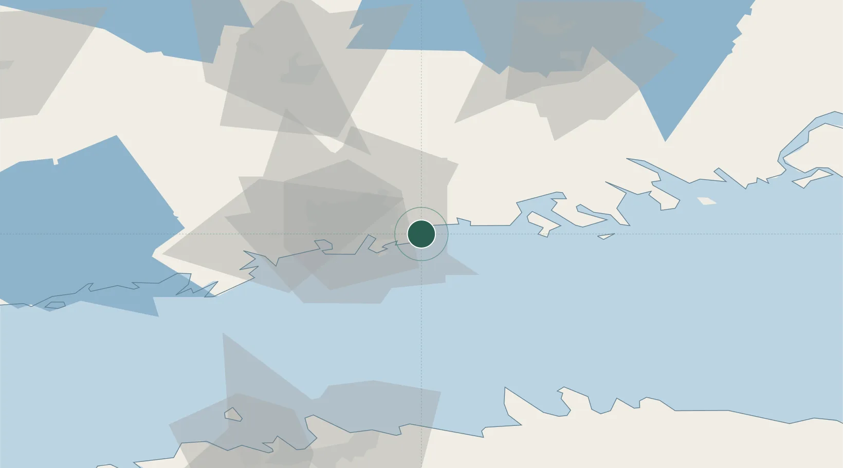
Helsingfors (Helsinki)
60.2154°, 25.1877°
1
Transport functions
3
Container terminals
Transport Functions
Port
Hub Profile
Region
18
Logistics facilities
6
Container terminals
3
Location
Nearby Logistics Neighbours
Cities
- 1Vuosaari (Nordsjö)0 km
- 2Malmi11 km
- 3Tikkurila (Dickursby)13 km
- 4Suomenlinna (Sveaborg)15 km
- 5Sibbo (Sipoo)17 km
Airports
- 1Helsinki Vantaa Airport17 km
- 2Helsinki East-Redstone Aerodrome83 km
- 3Tallinn Linnahall Heliport89 km
- 4Lennart Meri Tallinn Airport91 km
- 5Ämari Air Base120 km
Trade Zones
- 1Port of Hamina-Kotka100 km
- 2Muuga Free Zone103 km
- 3Paldiski Free Zone116 km
- 4Freeport of Hanko135 km
- 5Turku Free Zone166 km
DatabookThe Record of Consolidated Knowledge
Finland beyond logistics?