Large airport · Estonia
Lennart Meri Tallinn AirportEETN
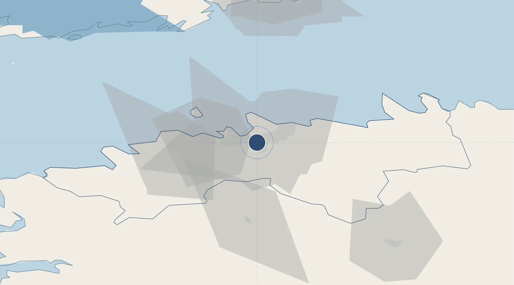
59.4132°, 24.8326°
11,417 ft
Longest runway
1
Runways
131 ft
Elevation
Runway & Layout

Radio Frequencies
ATIS
124.88 MHz
Tallinn ATIS
TWR
135.905 MHz
Tallinn Tower
APP
127.905 MHz
Tallinn Radar
Navaids
IB NDB Tallinn 329 kHz
LK NDB Tallinn 386 kHz
TLL VOR-DME Tallinn 112.20 MHz
Runways · 1
| Runway | Dimensions | Surface | True heading | Lit |
|---|---|---|---|---|
| 08/26 | 11,417 × 148ft | Asphalt | 090° | ✓ |
Airport Specifications
IATA code
TLL
ICAO code
EETN
Airport class
Large airport
Scheduled service
Yes
Runway surface
Asphalt
Served city
Tallinn
Location
Nearby Logistics Neighbours
Airports
- 1Tallinn Linnahall Heliport6 km
- 2Ämari Air Base40 km
- 3Helsinki Vantaa Airport101 km
- 4Pärnu Airport113 km
- 5Kärdla Airport123 km
Cities
- 1Soodevahe2 km
- 2Vanasadam6 km
- 3Kalevi Jahtklubi6 km
- 4Pirita6 km
- 5Kalasadam6 km
Ports
- 1Vanasadam - Port of Tallinn6 km
- 2Lahesuu9 km
- 3Paljassaare9 km
- 4Miiduranna10 km
- 5Meeruse10 km
Trade Zones
- 1Muuga Free Zone17 km
- 2Paldiski Free Zone44 km
- 3Freeport of Hanko119 km
- 4Port of Sillamäe163 km
- 5Port of Hamina-Kotka166 km
DatabookThe Record of Consolidated Knowledge
Estonia beyond logistics?