Seaport · Finland
KotkaFIKTK
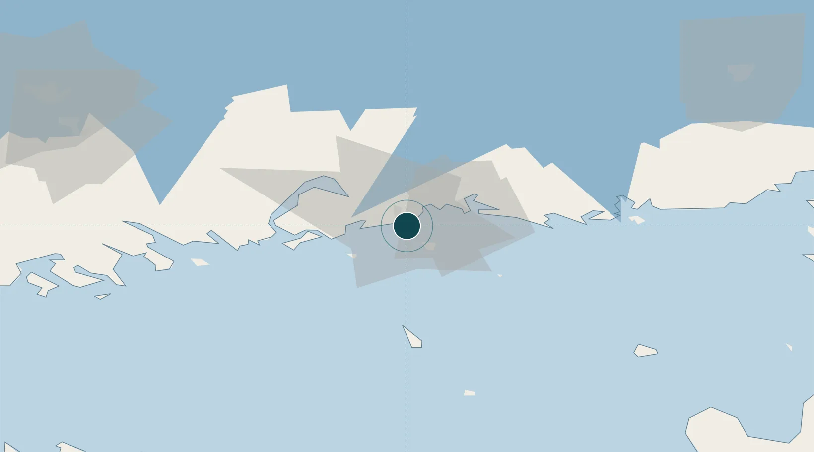
60.4667°, 26.9667°
14.0 m
Channel depth
3
Container terminals
100.8
Port liner connectivity
Channel & Berth Profile
Pilotage, Tugs & Services
Pilotage compulsoryYES
Pilotage availableYES
Pilotage advisableYES
Local assistanceYES
Tug assistanceYES
Potable waterYES
Diesel bunkersYES
MedicalYES
Garbage disposalYES
Facilities & Capabilities
ContainerYES
Ro-RoYES
Liquid bulkYES
Dry bulkYES
Oil terminalNO
Break bulkYES
Dry dockNO
RepairsNO
BunkeringYES
Rail linkYES
Dangerous cargo—
ISPS security—
Harbour Specifications
Harbour size
Large
Harbour type
Coastal (Breakwater)
Shelter
Excellent
Water body
Gulf of Finland; Baltic Sea; North Atlantic Ocean
Overhead limit
Yes
Pilotage
Yes
Liner Connectivity
100.8
PLSCI
Port Liner Shipping Connectivity Index for Kotka, as published by UNCTAD for the latest available quarter. Higher values indicate stronger scheduled liner-shipping integration.
Shown relative to the highest per-port PLSCI in the dataset (1,657.9).
Location
Container Terminals · 3
RORO TERMINAL HIETANEN
FIHIE STEVECO OY
KOTKA CONTAINER TERMINAL
FIKCT STEVECO OY
MULTI-LINK TERMINAL KOTKA
MLTKTK MULTI-LINK TERMINALS LTD. OY
Nearby Logistics Neighbours
Ports
- 1Hamina17 km
- 2Loviisa40 km
- 3Porvoo76 km
- 4Gavan Vysotsk89 km
- 5Tolkkinen90 km
Cities
- 1Sunila2 km
- 2Kymenlaakso4 km
- 3Summa11 km
- 4Lakulahti12 km
- 5Siltakylä (Broby)12 km
Airports
- 1Helsinki East-Redstone Aerodrome21 km
- 2Utti Air Base48 km
- 3Lappeenranta Airport91 km
- 4Pribylovo Naval Air Base98 km
- 5Helsinki Vantaa Airport111 km
Trade Zones
DatabookThe Record of Consolidated Knowledge
Finland beyond logistics?