Channel & Berth Profile
Pilotage, Tugs & Services
Pilotage availableYES
Pilotage advisableYES
Tug assistanceYES
Potable waterYES
MedicalYES
Garbage disposalYES
Facilities & Capabilities
ContainerYES
Ro-RoNO
Liquid bulkYES
Dry bulkYES
Oil terminalNO
Break bulkYES
Dry dock—
RepairsNO
BunkeringYES
Rail linkYES
Dangerous cargo—
ISPS security—
Harbour Specifications
Harbour size
Very Small
Harbour type
Coastal (Natural)
Shelter
Good
Water body
Gulf of Finland; Baltic Sea; North Atlantic Ocean
Tidal range
11 m
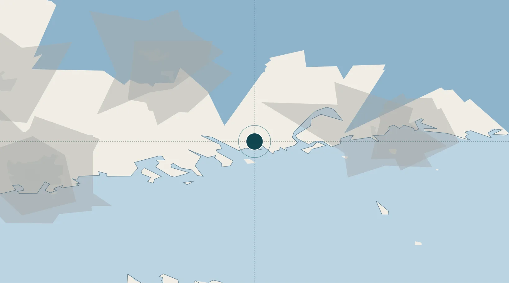
Location
Nearby Logistics Neighbours
Cities
- 1Tessjö (Tesjoki)5 km
- 2Pernå (Pernaja)10 km
- 3Ruotsinpyhtää (Strömfors)15 km
- 4Kallviken15 km
- 5Lindkoski21 km
Airports
- 1Helsinki East-Redstone Aerodrome20 km
- 2Utti Air Base63 km
- 3Helsinki Vantaa Airport71 km
- 4Lappeenranta Airport123 km
- 5Pribylovo Naval Air Base138 km
Trade Zones
- 1Port of Hamina-Kotka39 km
- 2Free Zone of Lappeenranta121 km
- 3Port of Sillamäe141 km
- 4Muuga Free Zone145 km
- 5Paldiski Free Zone173 km
DatabookThe Record of Consolidated Knowledge
Finland beyond logistics?