Free Trade Zone · Estonia

Port of Sillamäe Active
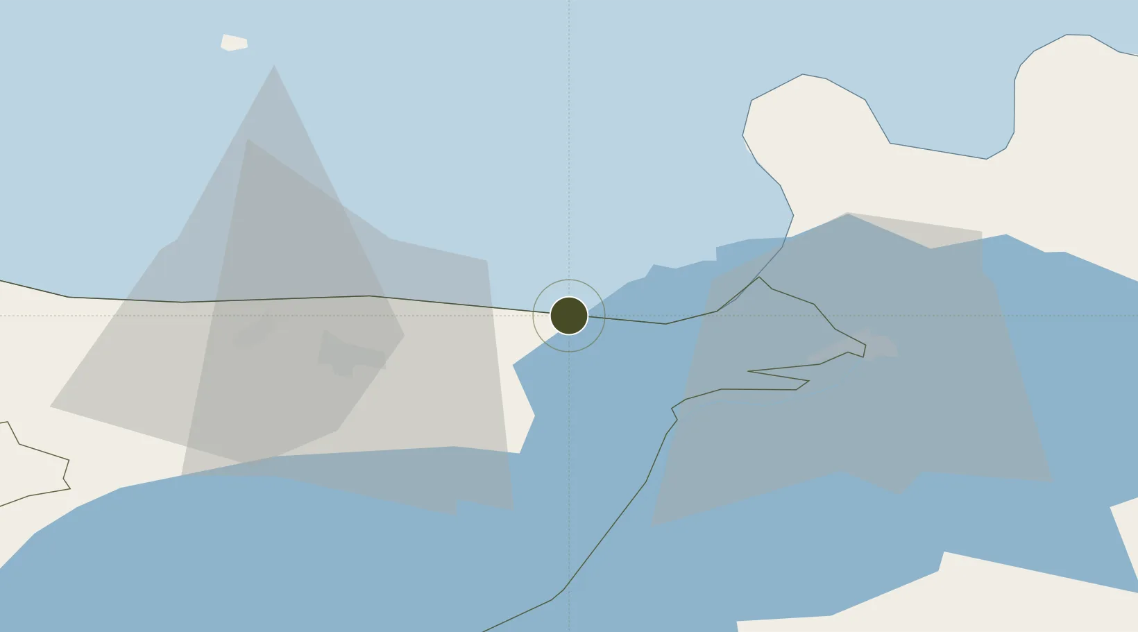
59.4210°, 27.7215°
750 ha
Zone area
1.2 km
Nearest port
69.4 km
Nearest airport

Gateway access

Nearest neighbours — logibook spatial index (haversine) over the source coordinates

Zone profile

Zone type
Free Trade Zone
Open Zone Map
Region
Ida-Viru
Open Zone Map
Status
Active
Open Zone Map
Management
Private
Open Zone Map
Operator
Silport Kinnisvara AS
Open Zone Map
Legal framework
Alcohol, Tobacco, Fuel and Electricity Excise Duty Act (effective April 1, 2003), Customs Act (2017), Competition Act 2001, Value Added Tax Act 2004, Commercial Code 1995
Open Zone Map

Location

Location of ozm-1898
Natural Earth 10m (public domain) · Ida-Viru · ozm-1898 · 59.42, 27.72GoogleOSMYandex

Nearby Logistics Neighbours

Ports
  1. 1Sillamae1 km
  2. 2Ust Luga43 km
  3. 3Kunda67 km
  4. 4Loksa116 km
  5. 5Primorsk117 km
Nearest neighbours — logibook spatial index (haversine) over the source coordinates
Airports
  1. 1Smuravyovo Air Base69 km
  2. 2Pribylovo Naval Air Base129 km
  3. 3Helsinki East-Redstone Aerodrome133 km
  4. 4Tartu Airport137 km
  5. 5Lennart Meri Tallinn Airport163 km
Nearest neighbours — logibook spatial index (haversine) over the source coordinates
Cities
  1. 1Sillamäe1 km
  2. 2Vaivara6 km
  3. 3Toila11 km
  4. 4Jõhvi19 km
  5. 5Narva-Jõesuu Sadam19 km
Nearest neighbours — logibook spatial index (haversine) over the source coordinates
Trade Zones
  1. 1Port of Hamina-Kotka124 km
  2. 2St Petersburg Technology Innovative Special Economic Zone136 km
  3. 3Muuga Free Zone154 km
  4. 4Free Zone of Lappeenranta181 km
  5. 5Moglino Special Economic Zone - Industrial186 km
Nearest neighbours — logibook spatial index (haversine) over the source coordinates
DatabookThe Record of Consolidated Knowledge
Estonia beyond logistics?
Browse databook

All Sources

Trade ZonesOpen Zone Map
CC BY
Portsthe NGA World Port Index
Public domain (US gov)
AirportsOurAirports
Public domain
LocationsUN/LOCODE
UN/LOCODE — free
← Estonia trade zones