Transport Functions
Port
Hub Profile
Region
18
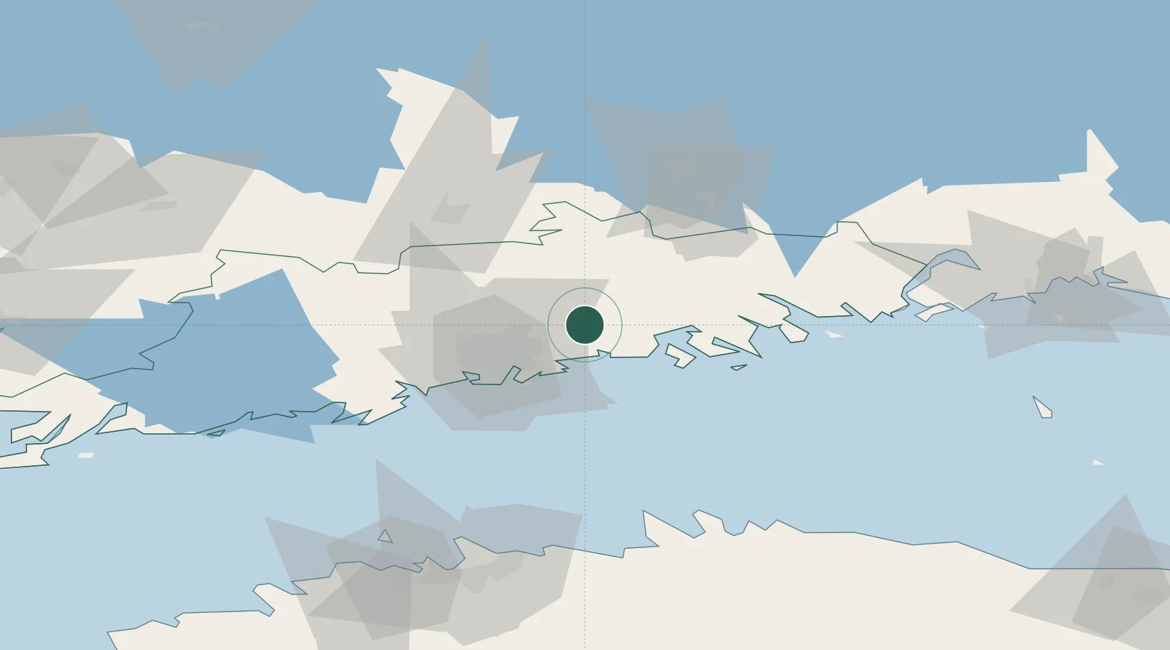
Location
Nearby Logistics Neighbours
Cities
- 1Tikkurila (Dickursby)15 km
- 2Kilpilahti (Sköldvik)17 km
- 3Vuosaari (Nordsjö)17 km
- 4Helsingfors (Helsinki)17 km
- 5Tolkis (Tolkkinen)18 km
Airports
- 1Helsinki Vantaa Airport18 km
- 2Helsinki East-Redstone Aerodrome74 km
- 3Tallinn Linnahall Heliport106 km
- 4Utti Air Base109 km
- 5Lennart Meri Tallinn Airport109 km
Trade Zones
- 1Port of Hamina-Kotka93 km
- 2Muuga Free Zone120 km
- 3Paldiski Free Zone133 km
- 4Freeport of Hanko145 km
- 5Turku Free Zone168 km
DatabookThe Record of Consolidated Knowledge
Finland beyond logistics?