Medium airport · Finland
Helsinki East-Redstone AerodromeEFPR
60.4792°, 26.5939°
3,280 ft
Longest runway
1
Runways
72 ft
Elevation
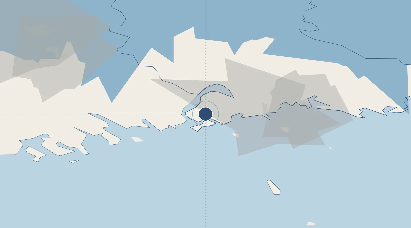
Runway & Layout

Radio Frequencies
INFO
118.475 MHz
Runways · 1
| Runway | Dimensions | Surface | True heading | Lit |
|---|---|---|---|---|
| 15/33 | 3,280 × 100ft | Asphalt | — | — |
Airport Specifications
ICAO code
EFPR
Airport class
Medium airport
Scheduled service
No
Runway surface
Asphalt
Served city
Helsinki (Pyhtää)
Location
Nearby Logistics Neighbours
Airports
- 1Utti Air Base50 km
- 2Helsinki Vantaa Airport91 km
- 3Lappeenranta Airport105 km
- 4Pribylovo Naval Air Base118 km
- 5Mikkeli Airport138 km
Cities
- 1Siltakylä (Broby)9 km
- 2Ruotsinpyhtää (Strömfors)10 km
- 3Kallviken15 km
- 4Tessjö (Tesjoki)15 km
- 5Kotka18 km
Trade Zones
- 1Port of Hamina-Kotka19 km
- 2Free Zone of Lappeenranta103 km
- 3Port of Sillamäe133 km
- 4Muuga Free Zone159 km
- 5Paldiski Free Zone190 km
DatabookThe Record of Consolidated Knowledge
Finland beyond logistics?