UN/LOCODE hub · Finland
FITOK

Tolkis (Tolkkinen)

60.3333°, 25.5833°
1
Transport functions

Transport Functions

Port
Tolkis (Tolkkinen) is also a profiled seaport →
UN/LOCODE

Hub Profile

Region
18
GeoNames

Location

Location of FITOK
Natural Earth 10m (public domain) · 18 · FITOK · 60.33, 25.58GoogleOSMYandex

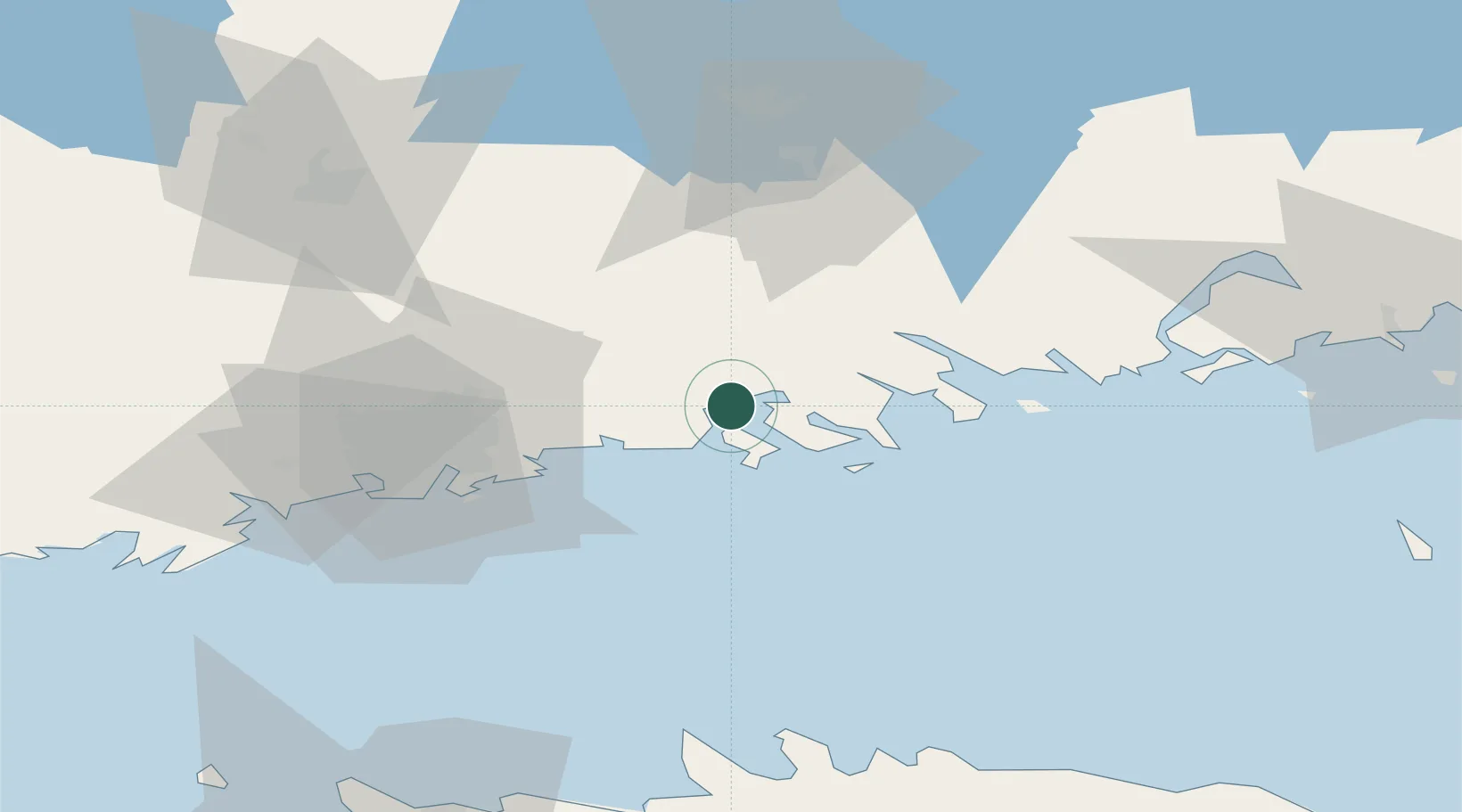
Nearby Logistics Neighbours

Cities
  1. 1Kilpilahti (Sköldvik)4 km
  2. 2Borgå (Porvoo)9 km
  3. 3Sibbo (Sipoo)18 km
  4. 4Helsingfors (Helsinki)26 km
  5. 5Vuosaari (Nordsjö)26 km
Nearest neighbours — logibook spatial index (haversine) over the source coordinates
Ports
  1. 1Porvoo5 km
  2. 2Loviisa38 km
  3. 3Helsinki39 km
  4. 4Porkkala72 km
  5. 5Kotka77 km
Nearest neighbours — logibook spatial index (haversine) over the source coordinates
Airports
  1. 1Helsinki Vantaa Airport34 km
  2. 2Helsinki East-Redstone Aerodrome58 km
  3. 3Utti Air Base97 km
  4. 4Tallinn Linnahall Heliport109 km
  5. 5Lennart Meri Tallinn Airport111 km
Nearest neighbours — logibook spatial index (haversine) over the source coordinates
Trade Zones
  1. 1Port of Hamina-Kotka76 km
  2. 2Muuga Free Zone120 km
  3. 3Paldiski Free Zone139 km
  4. 4Port of Sillamäe157 km
  5. 5Free Zone of Lappeenranta158 km
Nearest neighbours — logibook spatial index (haversine) over the source coordinates
DatabookThe Record of Consolidated Knowledge
Finland beyond logistics?
Browse databook

All Sources

LocationsUN/LOCODE
UN/LOCODE — free
Portsthe NGA World Port Index
Public domain (US gov)
AirportsOurAirports
Public domain
Trade Zonesthe World Bank SEZ database
CC BY 4.0
Trade ZonesOpen Zone Map
CC BY
← Finland locations