Heliport · Estonia
Tallinn Linnahall HeliportEECL
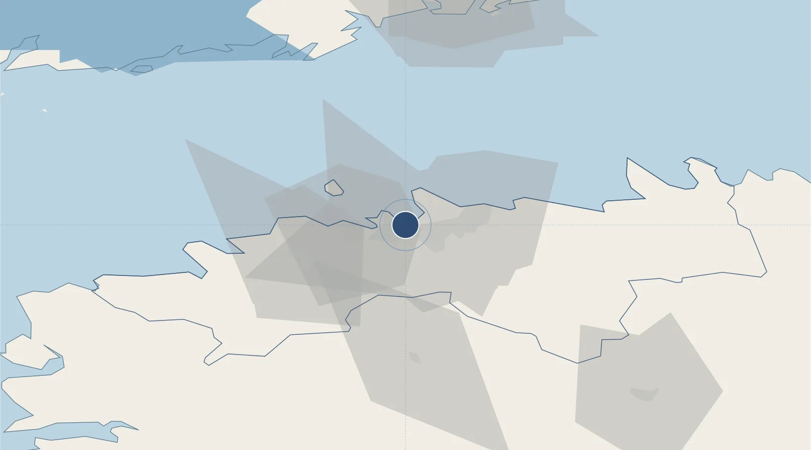
59.4480°, 24.7533°
26 ft
Longest runway
1
Runways
23 ft
Elevation
Runway & Layout

Runways · 1
| Runway | Dimensions | Surface | True heading | Lit |
|---|---|---|---|---|
| H1/- | 26 × 26ft | Concrete | — | — |
Airport Specifications
IATA code
CHE
ICAO code
EECL
Airport class
Heliport
Scheduled service
Yes
Runway surface
Concrete
Served city
Tallinn
Location
Nearby Logistics Neighbours
Airports
- 1Lennart Meri Tallinn Airport6 km
- 2Ämari Air Base38 km
- 3Helsinki Vantaa Airport98 km
- 4Pärnu Airport116 km
- 5Kärdla Airport121 km
Cities
- 1Kalasadam0 km
- 2Patareisadam0 km
- 3Vanasadam1 km
- 4Lennusadam1 km
- 5Noblessneri1 km
Ports
- 1Vanasadam - Port of Tallinn1 km
- 2Paljassaare3 km
- 3Lahesuu3 km
- 4Meeruse5 km
- 5Bekkeri5 km
Trade Zones
- 1Muuga Free Zone22 km
- 2Paldiski Free Zone40 km
- 3Freeport of Hanko113 km
- 4Port of Hamina-Kotka166 km
- 5Port of Sillamäe168 km
DatabookThe Record of Consolidated Knowledge
Estonia beyond logistics?