Seaport · Finland
HelsinkiFIHEL
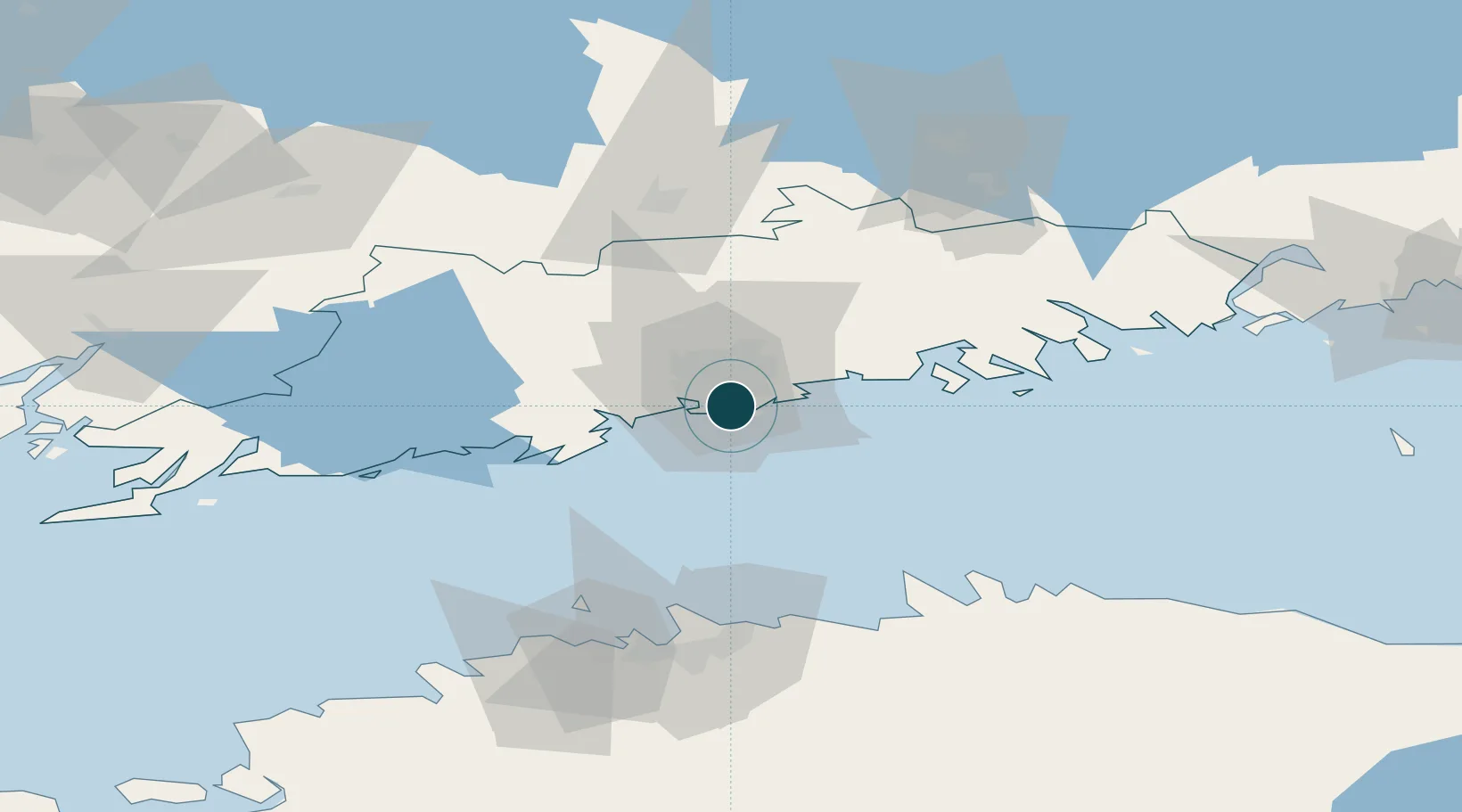
60.1667°, 24.9667°
7.9 m
Channel depth
3
Container terminals
76.5
Port liner connectivity
Channel & Berth Profile
Pilotage, Tugs & Services
Pilotage compulsoryYES
Pilotage advisableYES
Tug assistanceYES
Shore powerYES
Potable waterYES
MedicalYES
Garbage disposalYES
Facilities & Capabilities
ContainerYES
Ro-RoYES
Liquid bulkYES
Dry bulkYES
Oil terminalNO
Break bulkYES
Dry dockNO
RepairsNO
BunkeringYES
Rail linkYES
Dangerous cargo—
ISPS securityYES
Harbour Specifications
Harbour size
Large
Harbour type
Coastal (Breakwater)
Shelter
Fair
Water body
Gulf of Finland; Baltic Sea; North Atlantic Ocean
Tidal range
1 m
Overhead limit
Yes
Pilotage
Yes
Liner Connectivity
76.5
PLSCI
Port Liner Shipping Connectivity Index for Helsinki, as published by UNCTAD for the latest available quarter. Higher values indicate stronger scheduled liner-shipping integration.
Shown relative to the highest per-port PLSCI in the dataset (1,657.9).
Location
Container Terminals · 3
STEVECO TERMINAL HELSINKI
FIVCT STEVECO OY
FINNSTEVE TERMINAL HELSINKI
FSHVU FINNSTEVE OY AB
MULTI-LINK TERMINAL HELSINKI
MLTHEL MULTI-LINK TERMINALS LTD. OY
Nearby Logistics Neighbours
Ports
- 1Porkkala34 km
- 2Tolkkinen37 km
- 3Porvoo40 km
- 4Inkoo61 km
- 5Muuga-Port of Tallin74 km
Cities
- 1Suomenlinna (Sveaborg)4 km
- 2Malmi9 km
- 3Vuosaari (Nordsjö)13 km
- 4Tikkurila (Dickursby)15 km
- 5Esbo (Espoo)18 km
Airports
- 1Helsinki Vantaa Airport17 km
- 2Tallinn Linnahall Heliport81 km
- 3Lennart Meri Tallinn Airport84 km
- 4Helsinki East-Redstone Aerodrome96 km
- 5Ämari Air Base110 km
Trade Zones
- 1Muuga Free Zone97 km
- 2Paldiski Free Zone105 km
- 3Port of Hamina-Kotka114 km
- 4Freeport of Hanko122 km
- 5Turku Free Zone155 km
DatabookThe Record of Consolidated Knowledge
Finland beyond logistics?