Medium airport · Finland
Utti Air BaseEFUT
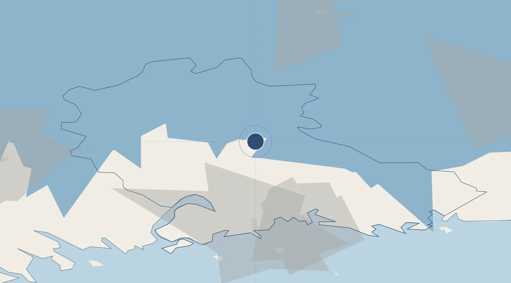
60.8964°, 26.9384°
6,562 ft
Longest runway
1
Runways
339 ft
Elevation
Runway & Layout

Radio Frequencies
ATIS
114.6 MHz
TWR
119.7 MHz
Navaids
UTT VOR-DME Utti 114.60 MHz
Runways · 1
| Runway | Dimensions | Surface | True heading | Lit |
|---|---|---|---|---|
| 07/25 | 6,562 × 148ft | Asphalt | 078° | ✓ |
Airport Specifications
IATA code
UTI
ICAO code
EFUT
Airport class
Medium airport
Scheduled service
No
Runway surface
Asphalt
Served city
Utti / Valkeala
Location
Nearby Logistics Neighbours
Airports
- 1Helsinki East-Redstone Aerodrome50 km
- 2Lappeenranta Airport67 km
- 3Mikkeli Airport89 km
- 4Pribylovo Naval Air Base110 km
- 5Helsinki Vantaa Airport126 km
Cities
- 1Kaipiainen10 km
- 2Myllykoski15 km
- 3Kouvola21 km
- 4Taavetti34 km
- 5Fredrikshamn (Hamina)39 km
Ports
- 1Hamina39 km
- 2Kotka48 km
- 3Loviisa63 km
- 4Gavan Vysotsk94 km
- 5Porvoo97 km
Trade Zones
DatabookThe Record of Consolidated Knowledge
Finland beyond logistics?