Transport Functions
Port
Hub Profile
Region
18
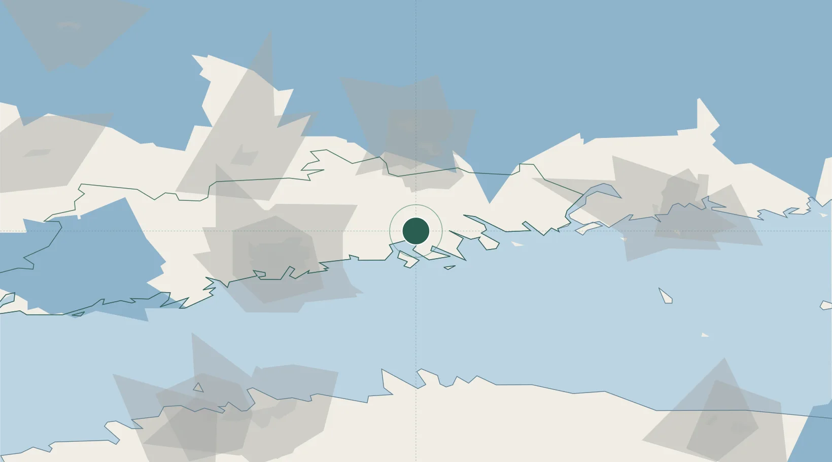
Location
Nearby Logistics Neighbours
Cities
- 1Tolkis (Tolkkinen)9 km
- 2Kilpilahti (Sköldvik)13 km
- 3Pernå (Pernaja)22 km
- 4Sibbo (Sipoo)22 km
- 5Loviisa (Lovisa)32 km
Airports
- 1Helsinki Vantaa Airport40 km
- 2Helsinki East-Redstone Aerodrome52 km
- 3Utti Air Base89 km
- 4Tallinn Linnahall Heliport118 km
- 5Lennart Meri Tallinn Airport119 km
Trade Zones
- 1Port of Hamina-Kotka70 km
- 2Muuga Free Zone128 km
- 3Paldiski Free Zone148 km
- 4Free Zone of Lappeenranta151 km
- 5Port of Sillamäe158 km
DatabookThe Record of Consolidated Knowledge
Finland beyond logistics?